

Walker’s Haute Route – East
Experience the Swiss Alps in all their glory
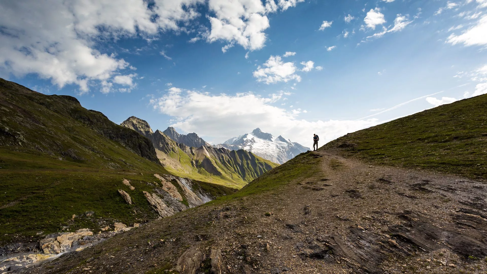
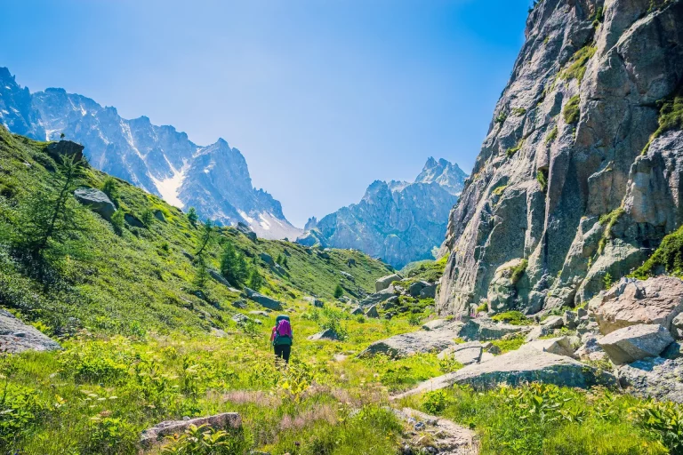
Hike across mountain passes between the highest peaks of Switzerland
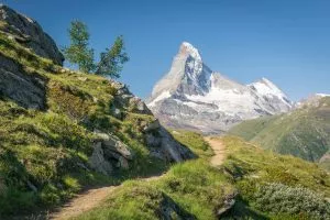
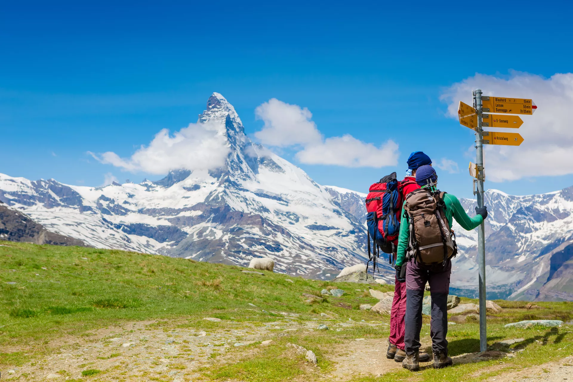
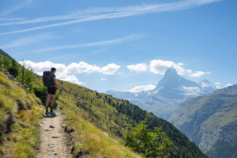
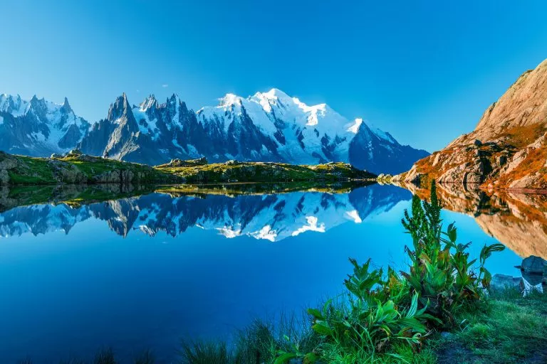
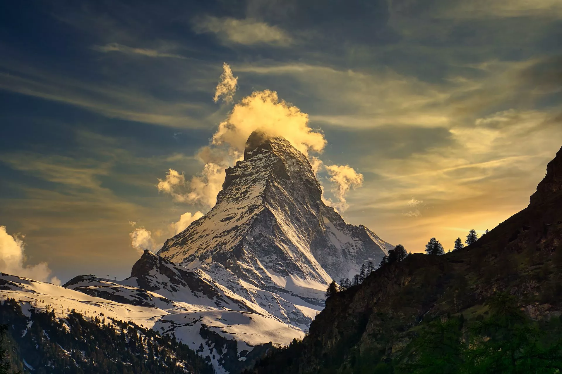
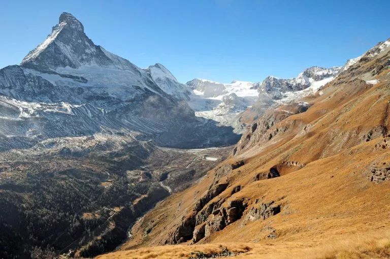
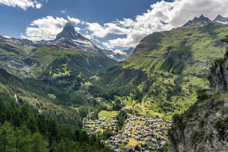
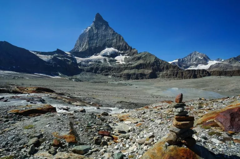
Stand in awe of the majestic beauty of Matterhorn
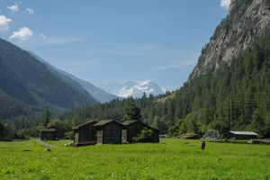
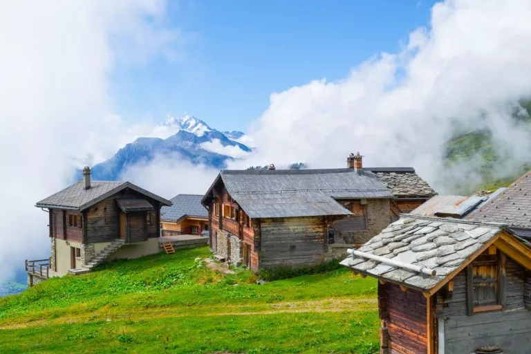
Stay in lovely mountain huts and authentic inns
Let us plan your trek, so you can focus on the adventure

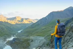
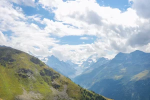
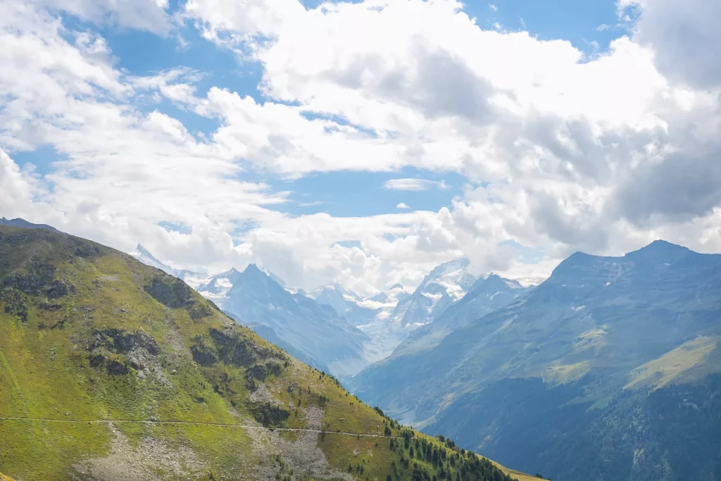
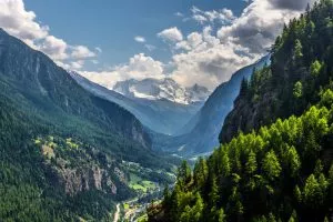
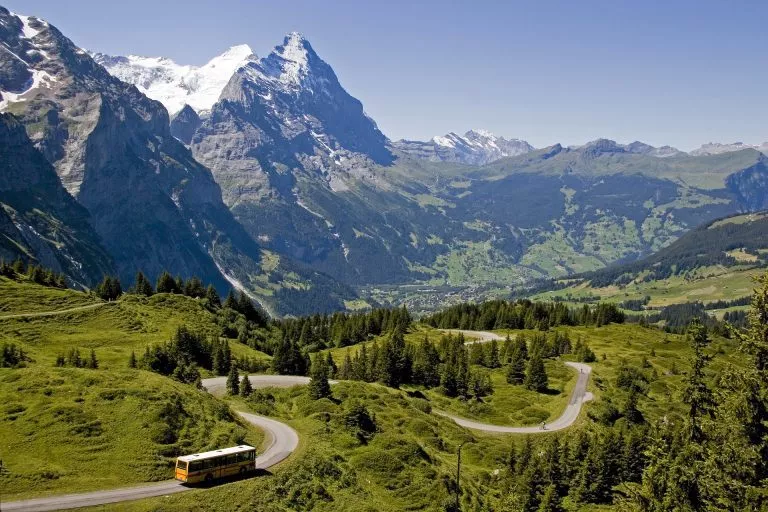
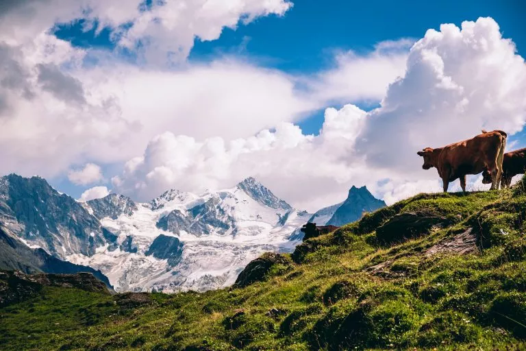
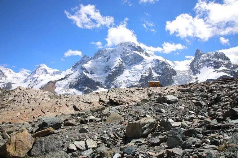
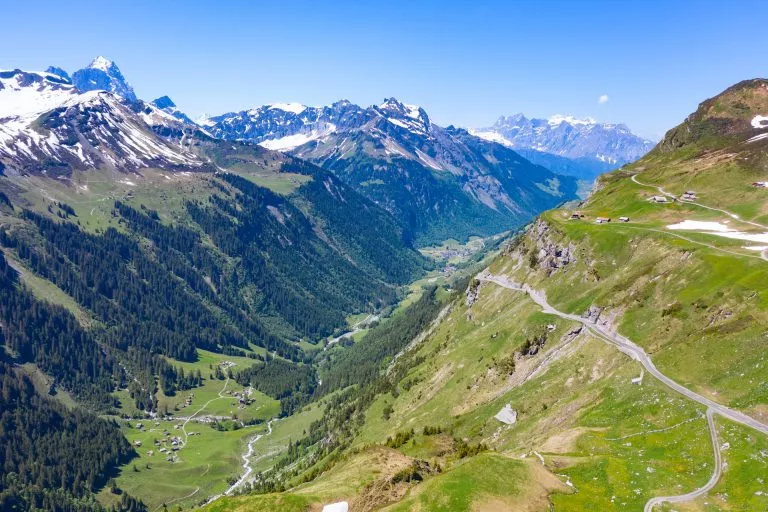
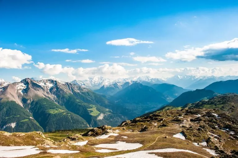
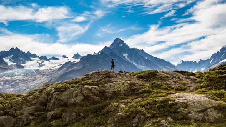
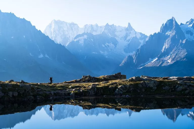
Below grand 4000 metre peaks
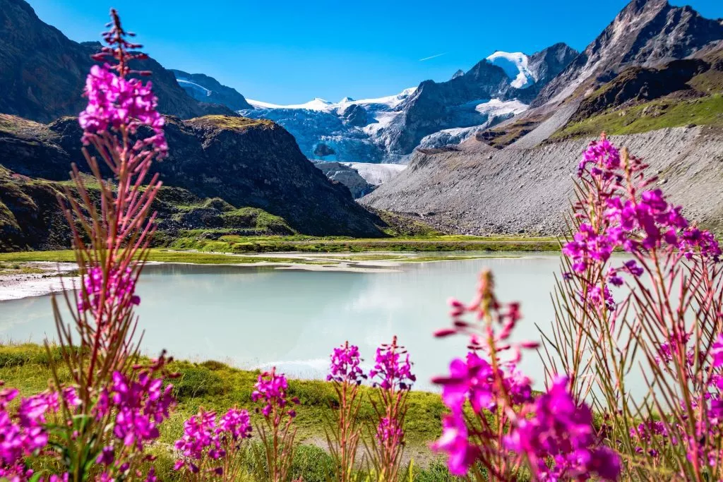
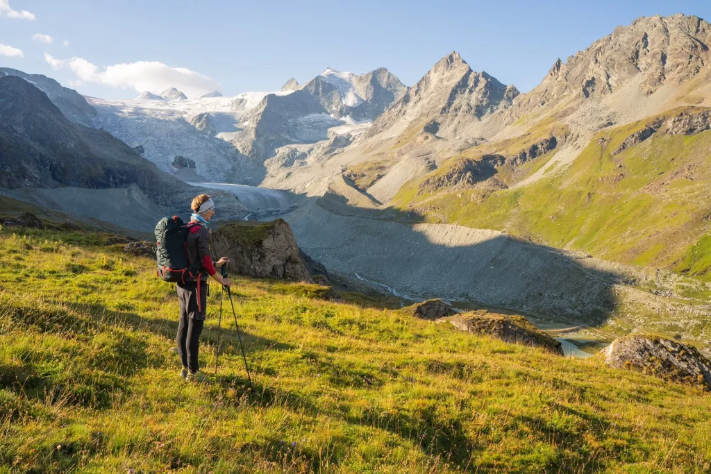
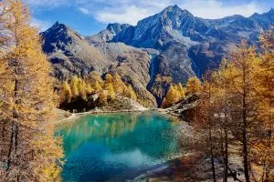
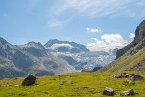
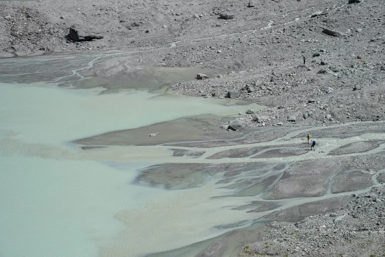
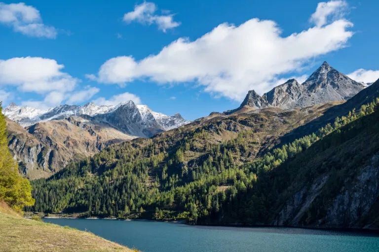
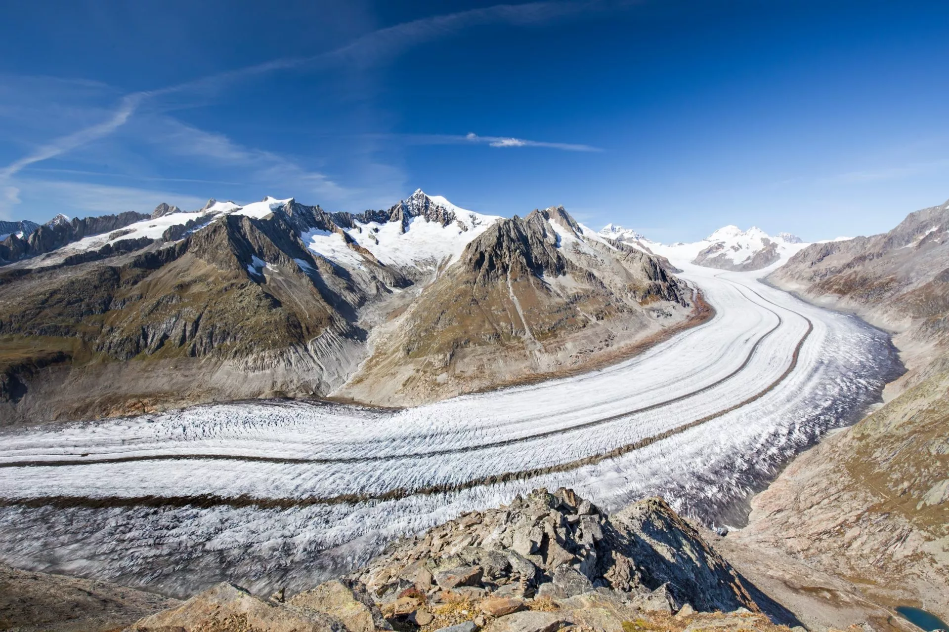
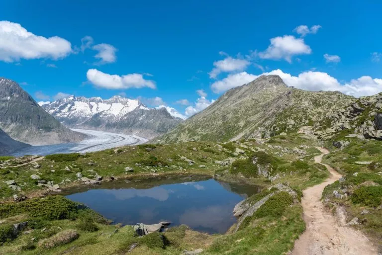
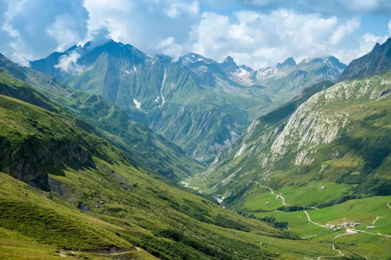
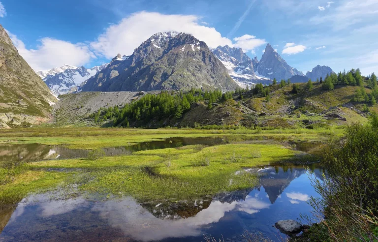
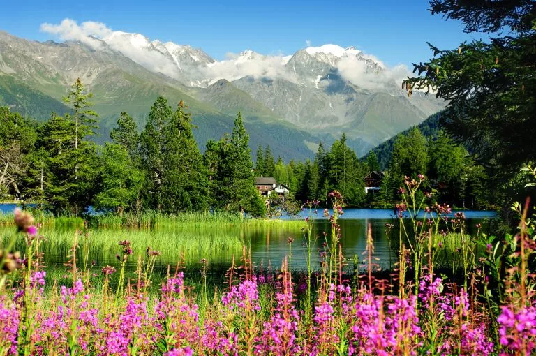
View of the Moiry Glacier from the Lac de Chateaupre surrounded by flowers in summer
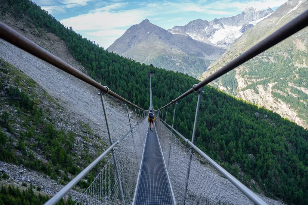
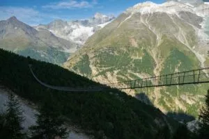
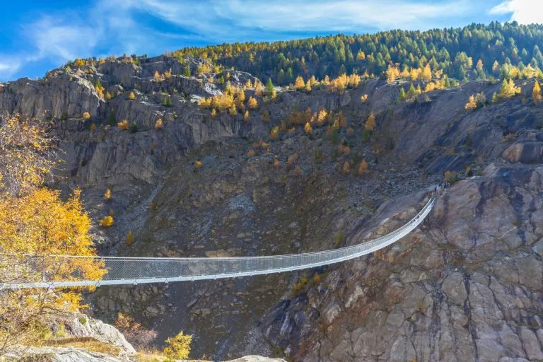
Cross one of the longest footbridges in the world
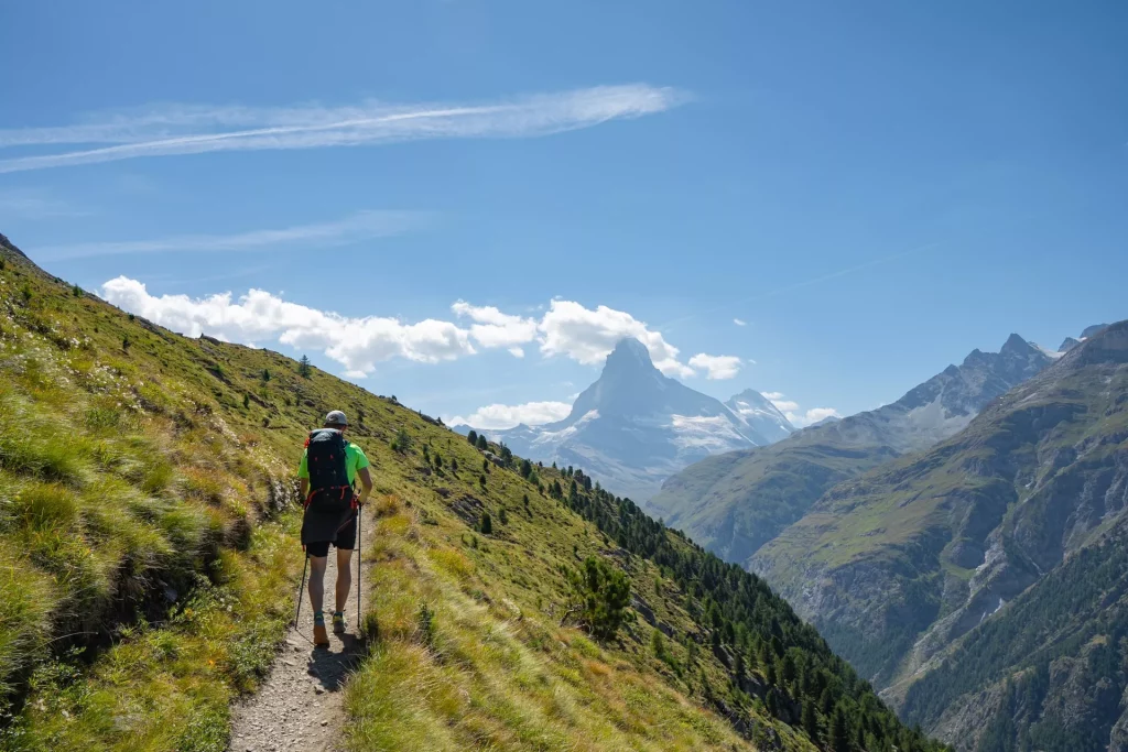
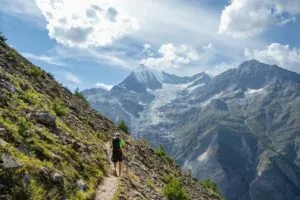
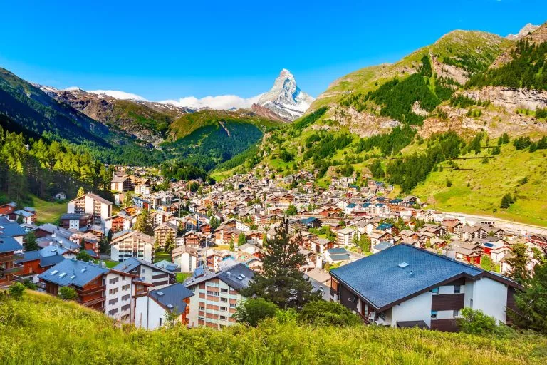
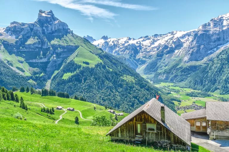
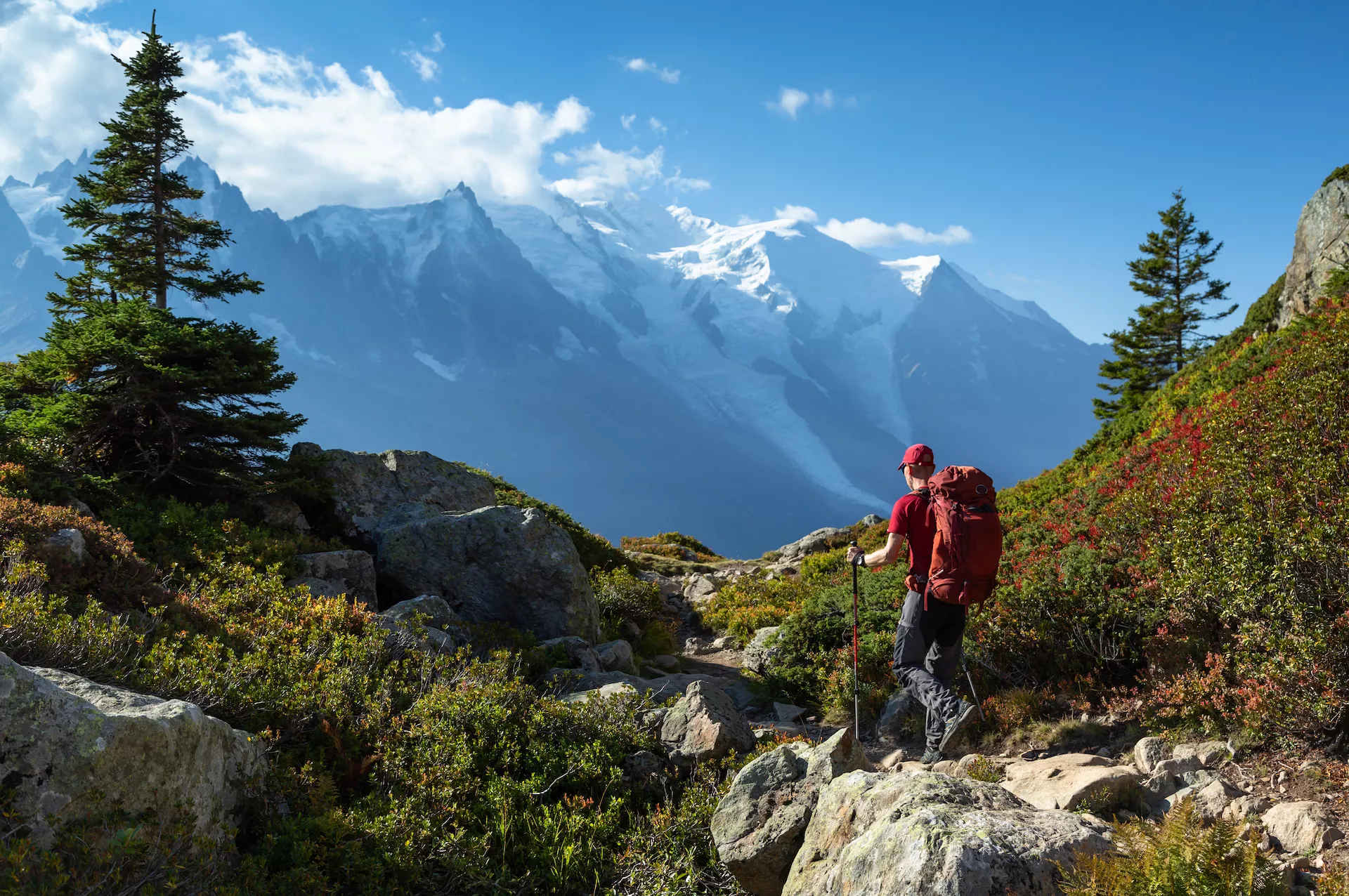
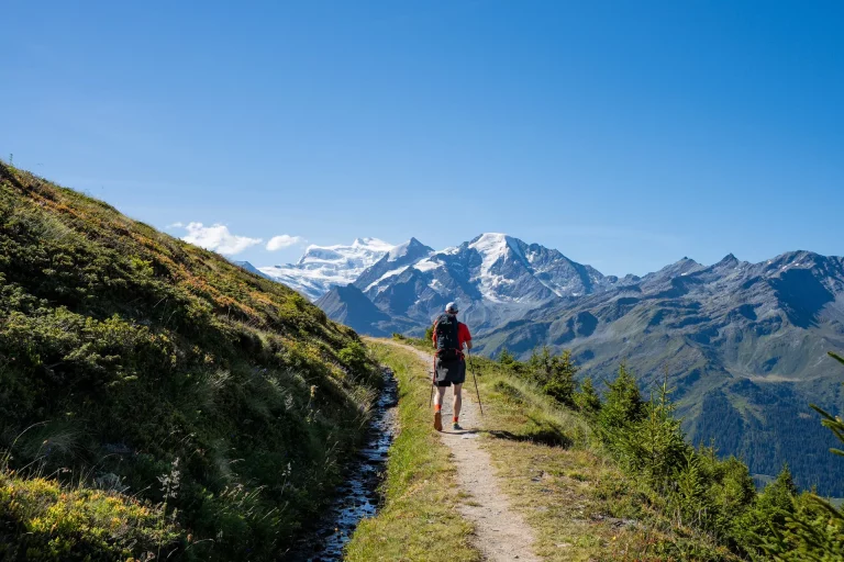
Matterhorn finally becomes your companion
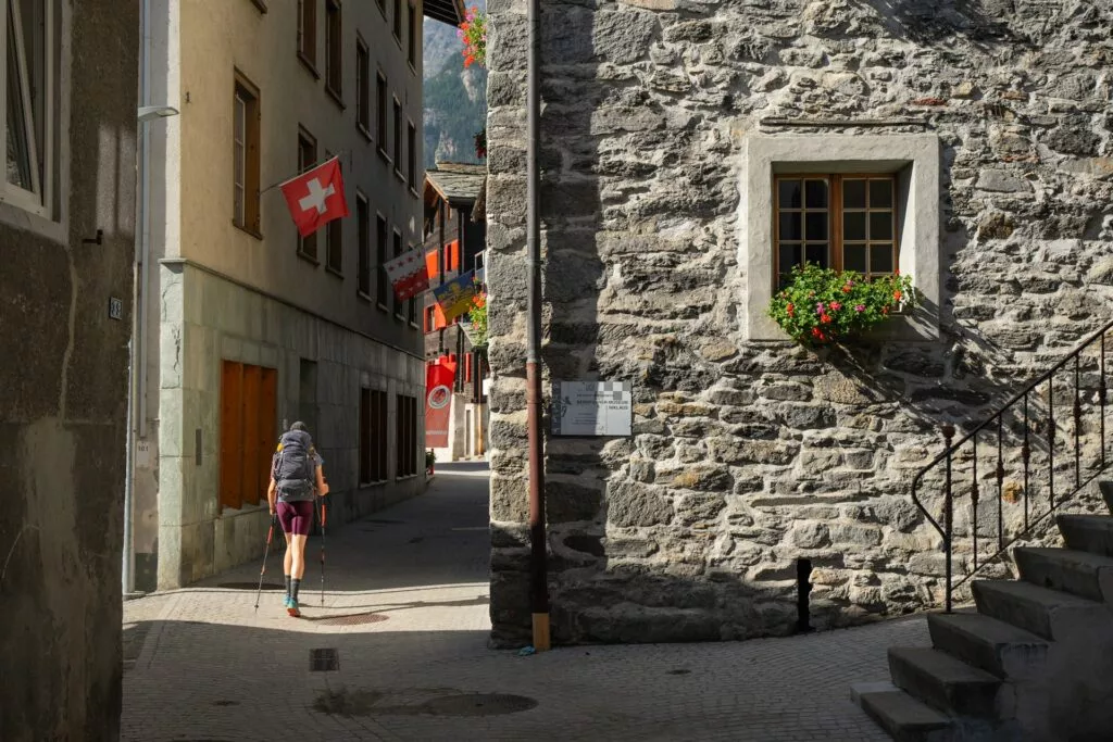
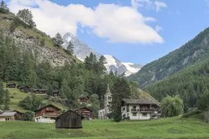
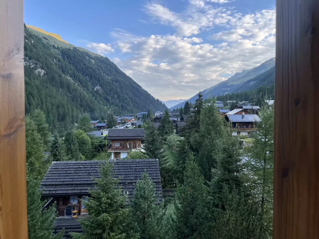
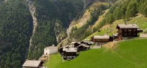
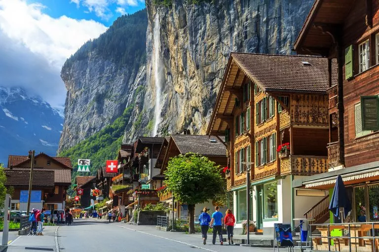
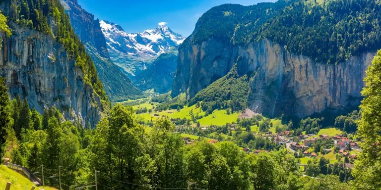
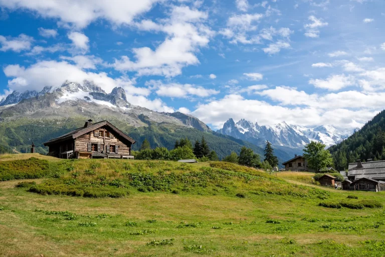
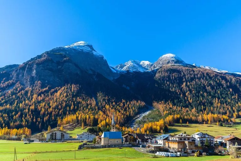
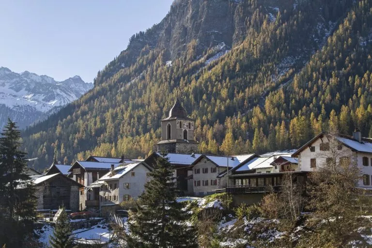
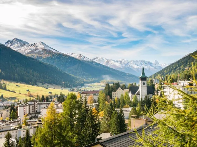
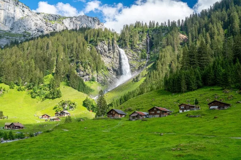
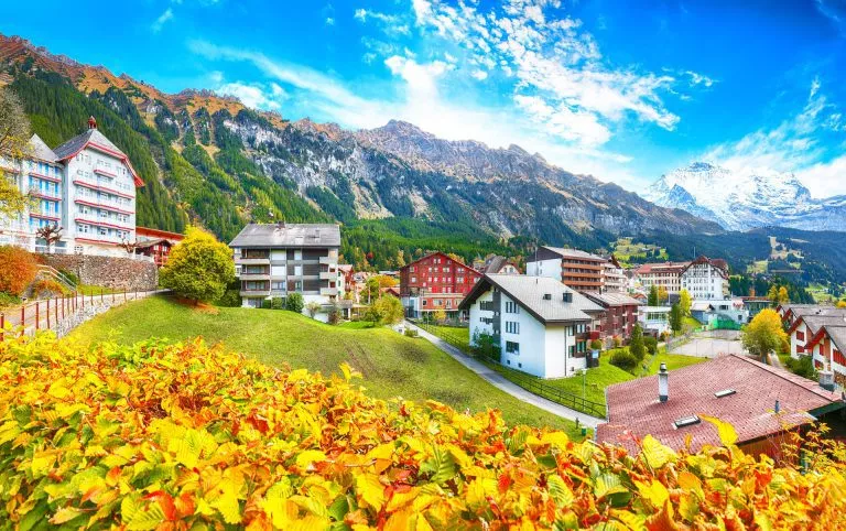
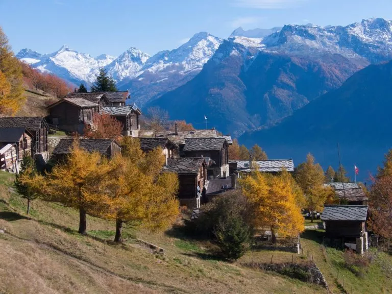
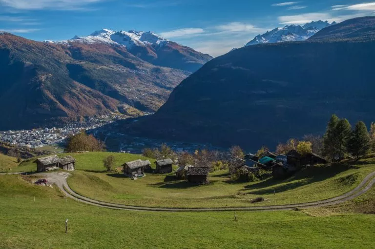
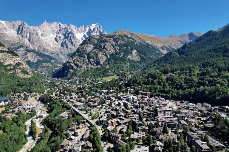
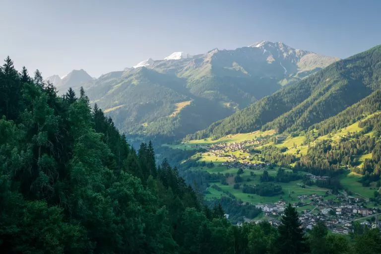
Resting in quaint Swiss towns
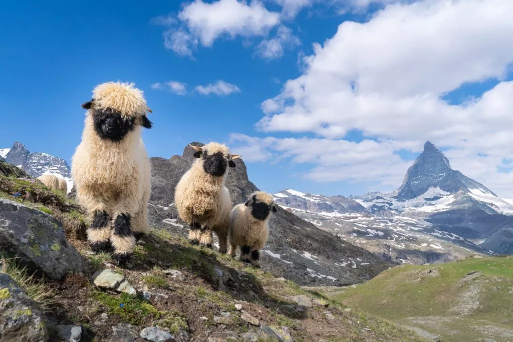
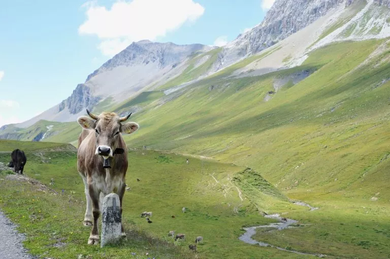
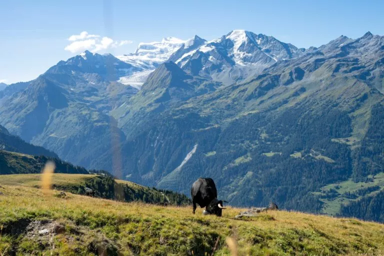
Valais Blacknose sheep in front of Matterhorn
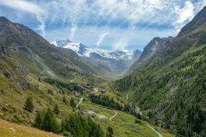
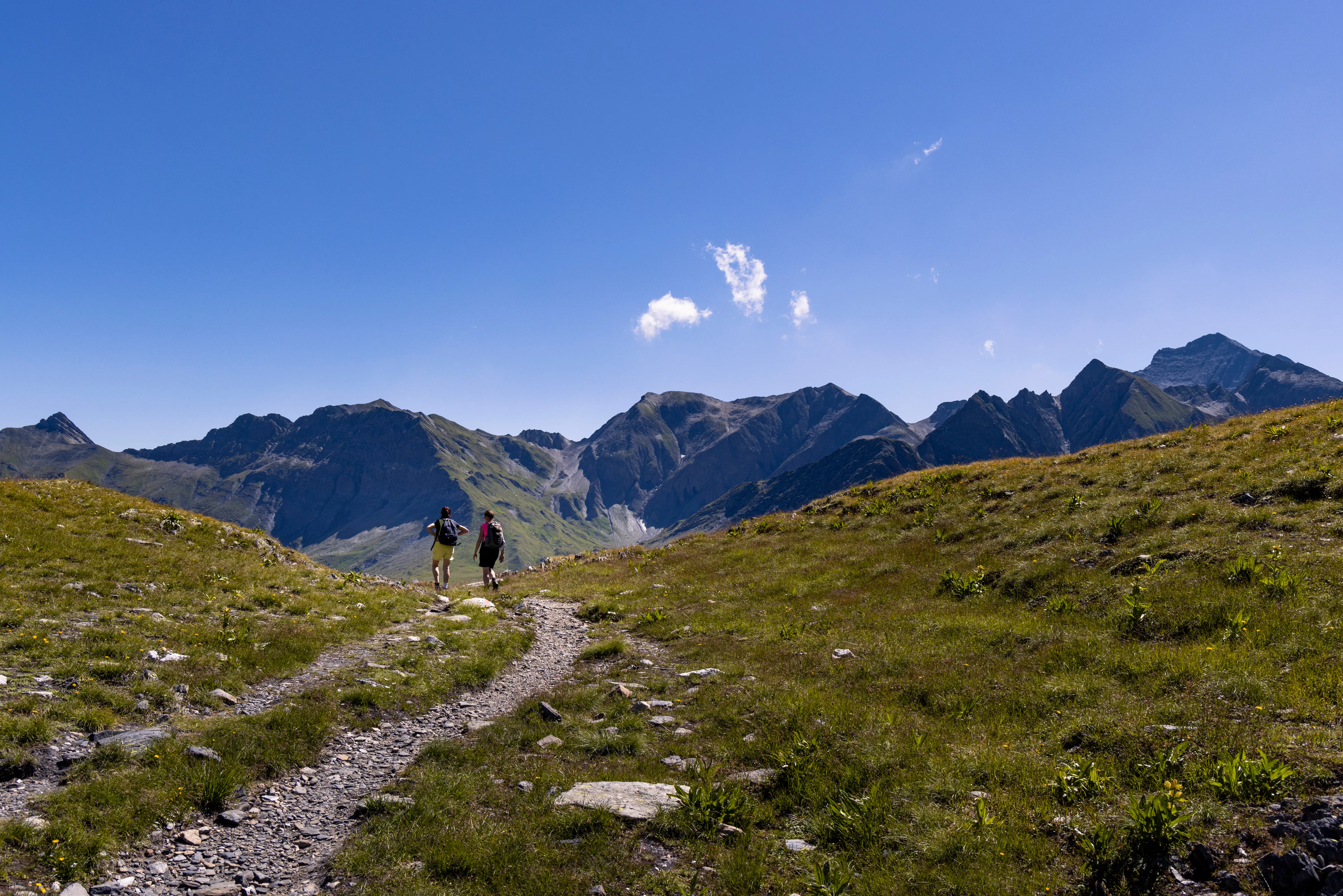
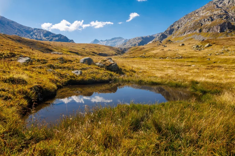
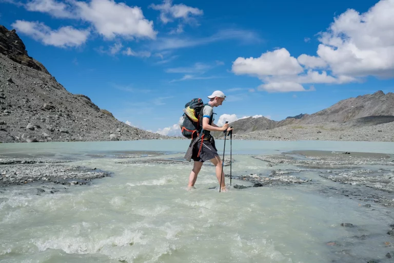
Experiencing the morning shadows in Val de Moiry
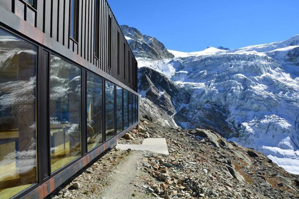
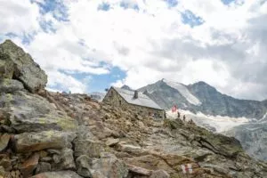
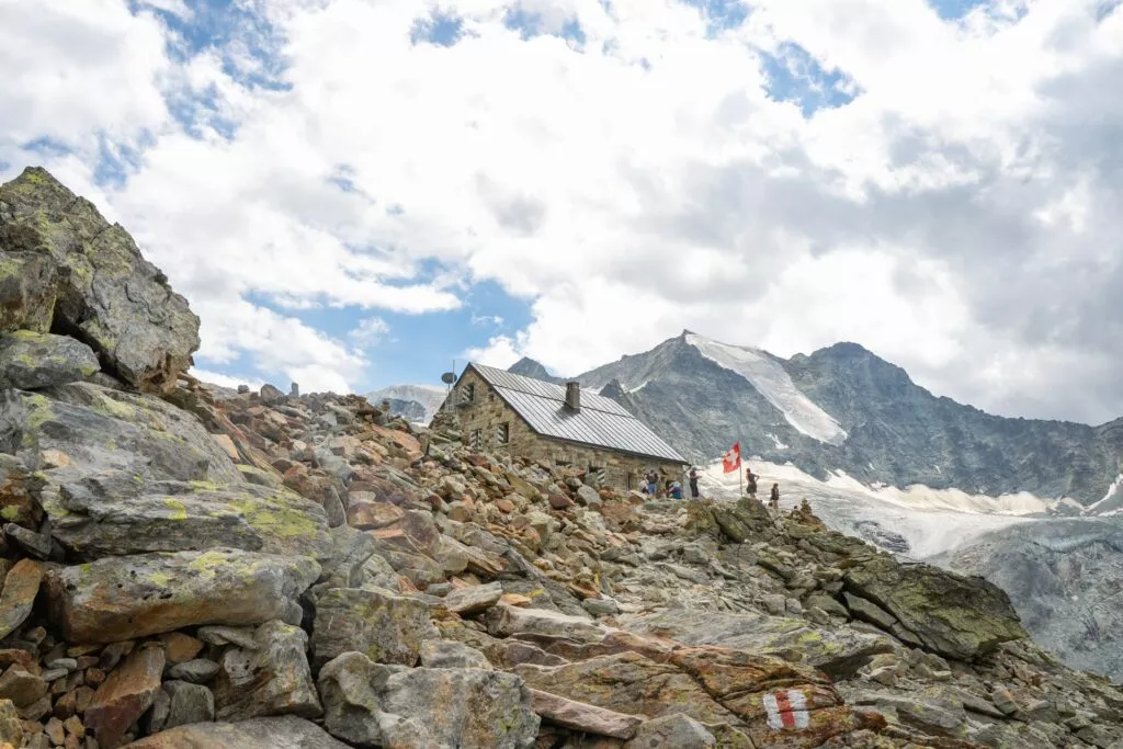
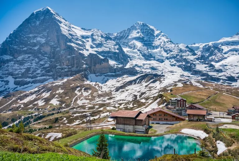
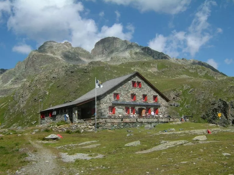
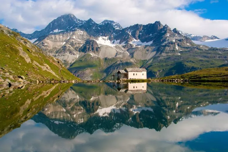
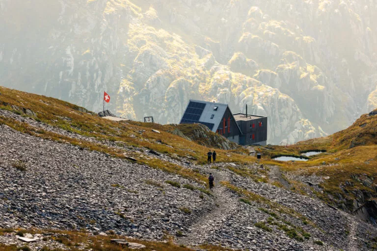
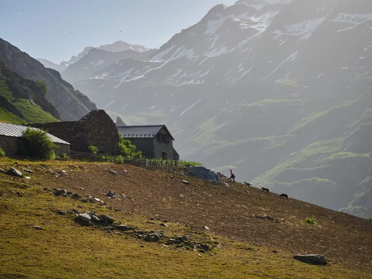
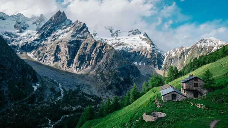
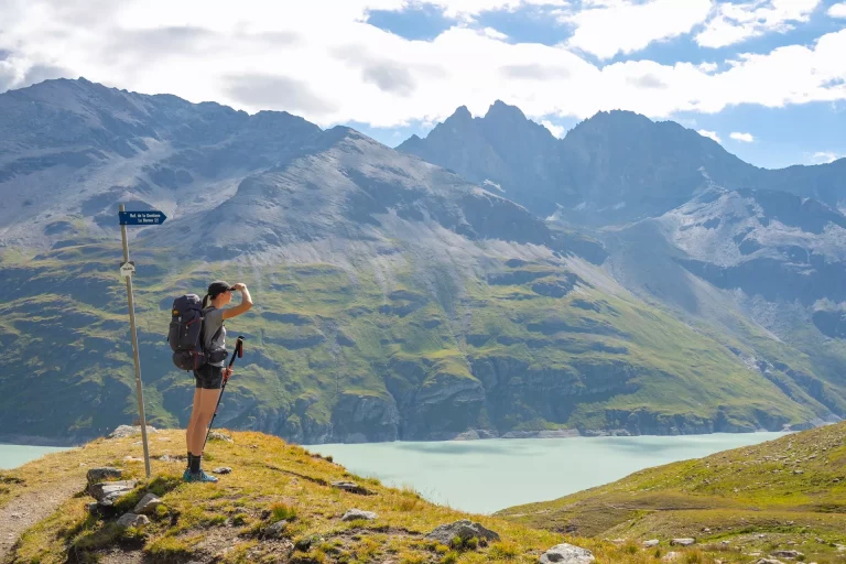
The Moiry Mountain Refuge in the Val d'Anniviers
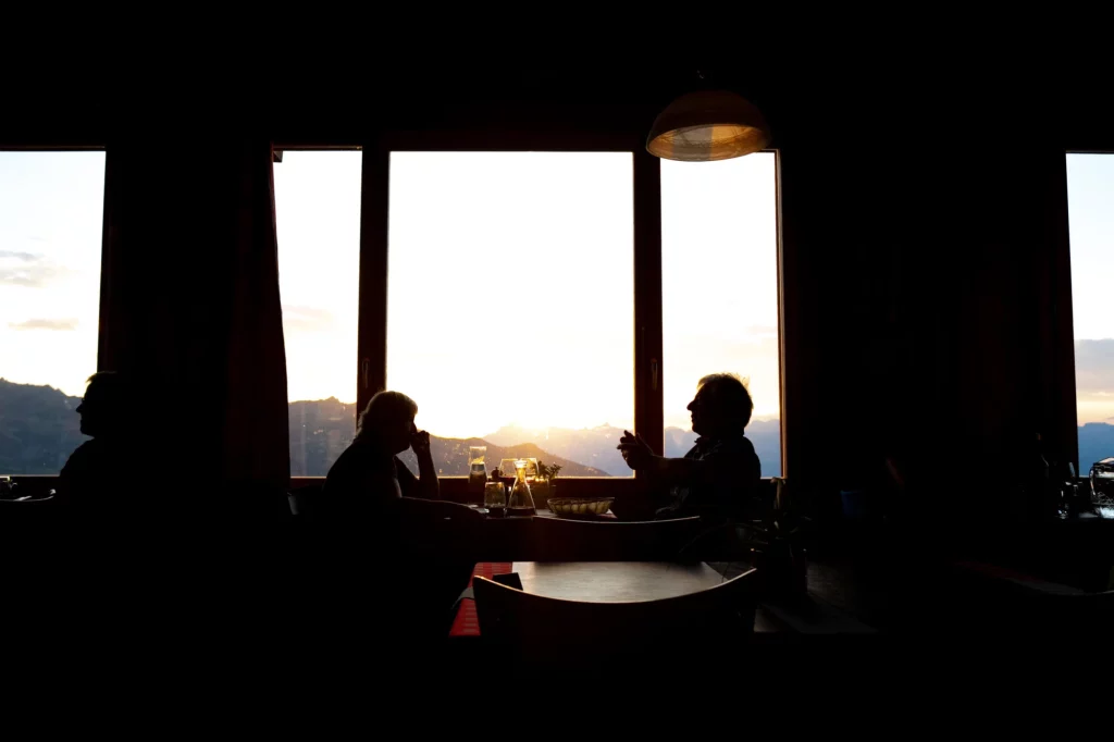
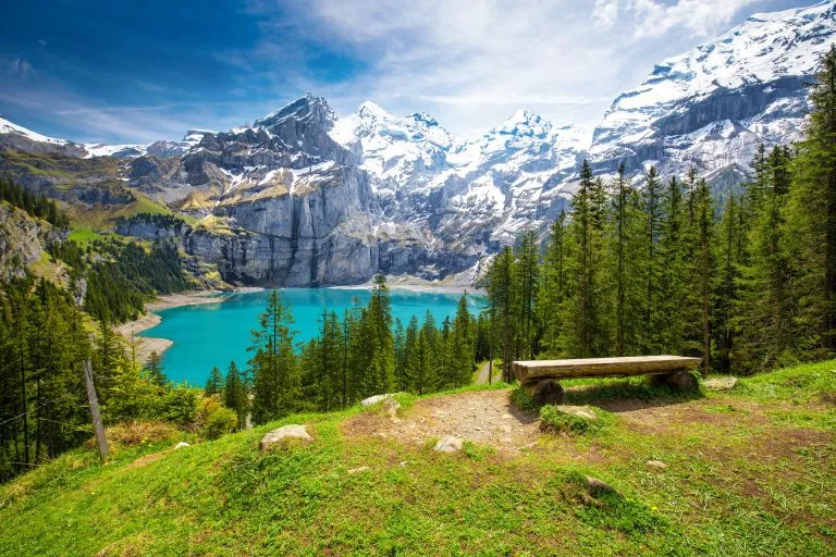
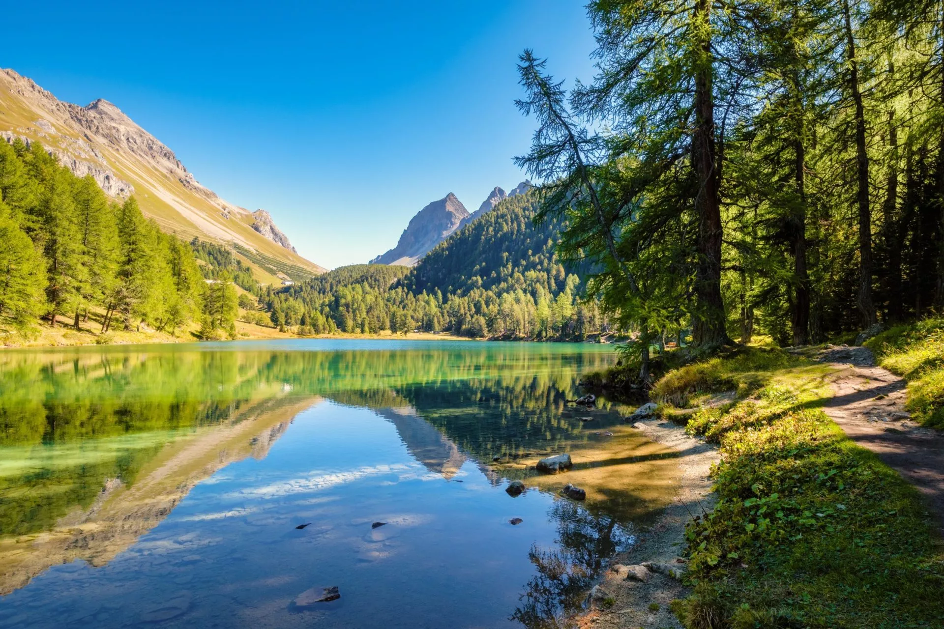
Magical evenings up high in the mountains


Itinerary
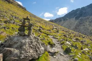
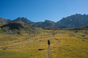
The hike starts off easy, without tackling the high mountains immediately. The route from Arolla to Les Hauderes takes you past typical Swiss villages and through lush forests; in between, you can detour to the fairytale-like Lac Bleu. The day ends at the tiny village of La Sage.
11km and 250m elevation gain


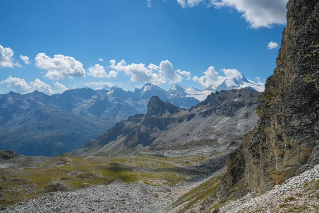
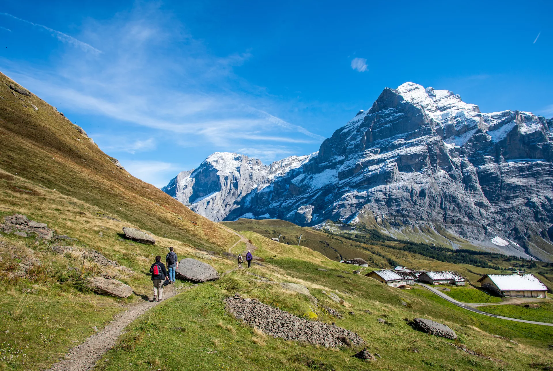
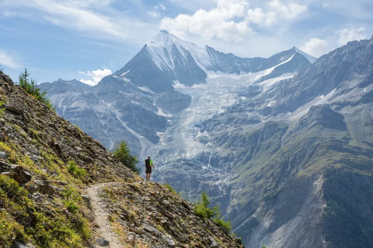
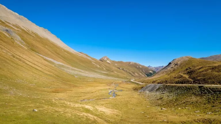
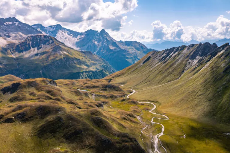
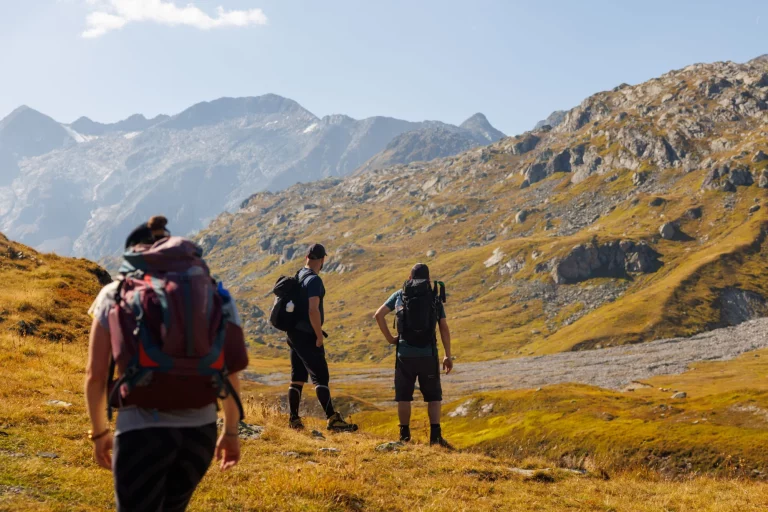
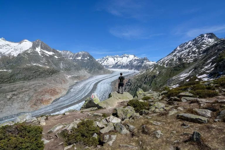
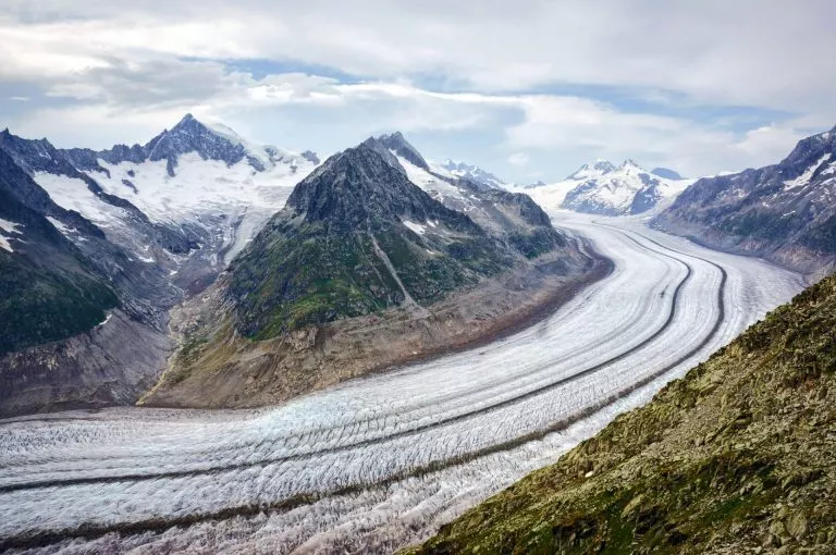
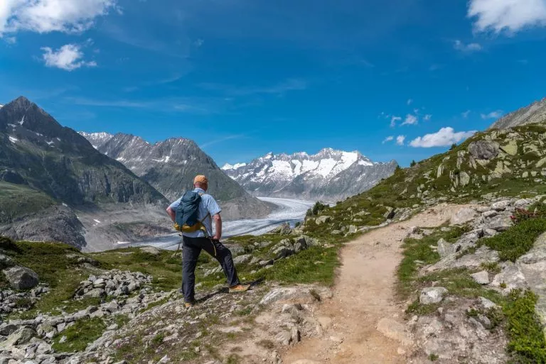
You’ll start by climbing up from the valley floor towards a ridge above Val d’Hérens, crossing it at its lowest point in Col du Tsate. After a descent to the small Lac Châteaupré, you’ll head up along the Moiry Glacier. After the terrain becomes rocky and you start to get a closer look at the glacier, switchbacks will take you to your goal and one of the best-situated huts on the route. The Cabane du Moiry has a great atmosphere and is for many people a destination on its own.
11km and 1650m elevation gain


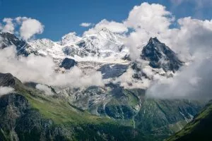
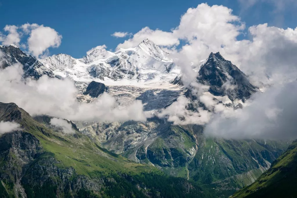
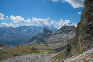
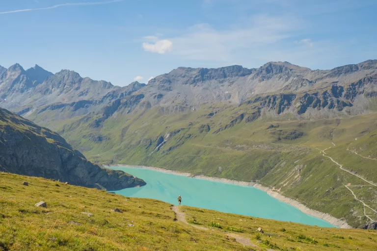
After breakfast at the panoramic windows of the dining room at our hut, continue down the path you took yesterday to Lac de Moiry. The ascent then leads towards Col de Sorebois, an outstanding view over Val d’Anniviers and its iconic peaks like Weisshorn (4505 m). The descent to Zinal is steep and long but can be shortened about halfway by a cable car.
16km and 550m elevation gain


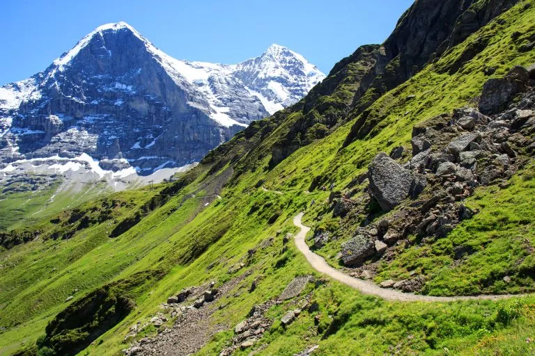
Today, you’ll be entering territory in Switzerland that’s primarily German-speaking. The trail ascends high above the Zinal Valley and offers great views of the valley’s head each time you look behind. The shortest route to the Turtmanntal Valley is across Forcletta Pass. If you have more time, you can extend the hike by staying overnight at the Victorian Hotel Weisshorn and then hiking across Meidpass the next day. Either way you the stage in Gruben, a small village inhabited only in the summer.
17km and 1200m elevation gain


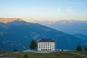
If you decided to stay the night at Hotel Weisshorn, you’ve made the right choice. The hotel interior is like from an old story, while the views are incredible. After the morning breakfast, you will make your way up alpine meadows to Meidpass. There, a gorgeous view will open up with the 4505 m tall Weisshorn dominating it. Descend down both rocky and green alpine landscape, pass some Swiss hamlets, enter the forest, and finally end up in the village of Gruben, richer for an extra day of beauty.


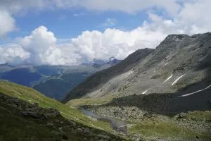
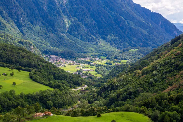
Today’s walk is full of contrasts. From the green forests above Gruden, you’ll pass over the Augstbordpass, once a historical trade route used by traders carrying salt and cattle to Italy. After you come around the corner and see the Mattertal valley before you, your jaw will drop. Although you won’t see Matterhorn yet, you can admire the sight of Dom (4545 m), the highest peak entirely in Swiss territory. Past the lovely hamlet of Jungen, you then descend into St. Niklaus.
17km and 1000m elevation gain


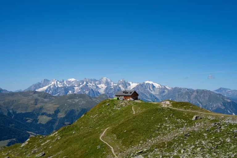
The last two-day stretch on the Walker’s Haute features one of the best hikes in the alp, the Europaweg. Redesigned in 2021, because of a landslide, its first part now takes you from Gasenried to Herbriggen at a lower altitude. But we suggest you skip this part, taking the valley route from St. Niklaus to Herbriggen. Otherwise, this stage is needlessly long without any extra great views. From Herbriggen, a long but grand ascent to the Europahutte begins. With epic views at every stop, including panoramas with Weisshorn, you’ll cross bridges and soon arrive at the hut.
17km and 1600m elevation gain


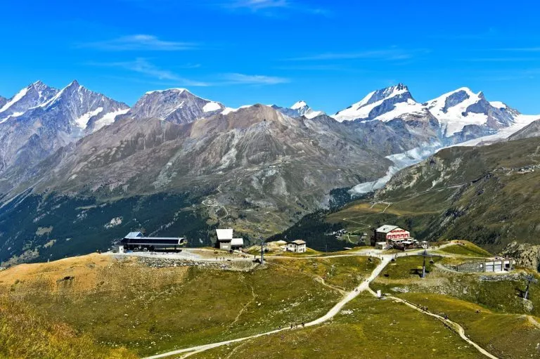
The end of your journey will be marked with a crossing over the longest pedestrian suspension bridge in the world, high above the valley floor, with a view of the imposing Matterhorn at the end of the valley. After Sunegga, descend down into Zermatt — the end of your Haute Route.
22km and 600m elevation gain


Self guided
Included in price
Optional Extras
What to bring to the tour
An In-Depth Exploration of All Things Hut to Hut Hiking Switzerland
Enter your mail below and get your free E-Book!
Description
If you are shorter on time and cannot hike the full length of the Walker’s Haute Route, this is its perfect short version, covering the stages on its eastern half on a week-long journey.
It leads from Arolla, a lovely Swiss village in the middle of the Pennine Alps, to Zermatt, a world-renowned mountaineering center at the foot of the Matterhorn pyramid.
This route is slightly easier than its western counterpart but arguably more scenic — with many highlights such as the Cabane de Moiry or the final two days on the Europaweg. A typical day of hiking will take you 5-7 hours, whether to a cozy mountain hut up high in the mountains or an authentic inn in the valley.
We’ll handle all the details so you can focus on your adventure. We’ll book your accommodations and other services, and a few weeks before setting off, we’ll send you a detailed itinerary booklet with the planned GPS route for your Walker’s Haute Route East trek.
Map
Start planning today!
Things to know
The summer season for hiking is usually from mid-June to mid-October. Its start depends on the amount of snow left on the high mountain passes from the winter. The Walker’s Haute Route and Via Alpina have some high passes, which are usually free of snow only in July. Hiking before that could be dangerous without proper skill and equipment. In October, there is usually the first bigger snowfall, and the huts close to prepare for the winter ski season.
Read more about the hiking season in the Swiss Alps here.
We’ve rated our tours on a difficulty scale from 1 to 5 — with 1 being the easiest and 5 the most difficult.
The difficulty level of a tour tells you how fit you need to be and how much hiking is involved. Most of our tours are appropriate for people who are regularly active and can hike for about five to seven hours per day.
Technical difficulty means how skilled you need to be to hike on the path. Level 1 means the trail is smooth and wide (like a gravel road), while 5 means the surface is uneven and exposed, and you have to use your hands to help yourself move forward. In practice, that means that the higher the level, the more surefooted and skilled in scrambling you need to be.
It is best to book your tour early because most accommodations along the trail fill up quickly. That way, you can ensure that you have a place to stay.
Even though the routes are usually quite close to at least a farm or a small village, they also feature lots of wild and remote sections where you cannot just stop. In case of injury, it’s best to call the local emergency services.
On the other hand, if you just feel that you cannot hike anymore, you can always stop in any of the towns and villages along the way and use public transport to get to a bigger Swiss city.
Showers in Swiss mountain huts are rare and are only offered for an extra charge. That’s why it’s wise to bring wet wipes with you for the days that you are staying in one of them.
No, because the huts provide their own blankets and pillows. Still, you should bring a sleeping liner instead.
Cell connection is very changeable in the mountains. A good rule of thumb is that if you can see a town, you’ll have a reception. Mountain huts are the same — the signal usually doesn’t reach the insides, so try catching it outside. Wifi is available only in some huts, while most don’t have it.
If you dress accordingly, most stages can be done in light rain. However, do not hike if a storm is forecasted. In that case, you can take public transport to the next point when possible to make up for the lost time.
Vegetarian meals are usually available in most accommodations. Vegan options are harder to be found in huts, but we’re happy to let you know about them in advance so you can plan accordingly.
Comparing it to other classic treks in the Alps, the Haute route is the most difficult out of all of them. Each day features a lot of distance, ascent, and descent, with the routes often rocky, exposed, and steep. For comparison, the Haute Route’s average mountain pass is as difficult as the most difficult part of the Tour du Mont Blanc.
Still, the Haute Route is a hike first and foremost, and only a few rare sections demand the use of hands.
More about the Walker’s Haute Route difficulty >
It starts in the village of Arolla. You can get there from any nearby international airport (Zurich, Geneva) by taking a train to Sion, and then a bus to the village.
The hike ends in Zermatt, from where there are good train connections to the airports of Zurich and Geneva.
Huts mostly offer dormitories only, but some also have a few private rooms for 2 or 4 available. Please note that we require a very early booking for these rooms. We will do our best to get you the best possible accommodation from what is available at the time of your booking.
You can read more about the accommodations on the way here.
You can, but they need to be used of long hiking days and surefooted. We therefore recommend that they’re at least 8 years old.
Most of the stages can be shortened via cable cars or other modes of public transportation, saving your knees on the downhills or catching up on lost time because of bad weather.
Haute Route has many sections which are remote and hardly accessible, which is why we do not offer luggage transfer. The best option is to pack light, so check our packing list.
The Walker’s Haute Route starts in France but leads mostly through Switzerland. Therefore you should have some euros (EUR) with you, but most cash should be in Swiss francs (CHF).

Self-guided
Hassle-Free
Book with confidence
Tried & Tested Adventures
Unbeatable support
Similar Switzerland Hiking Tours


An In-Depth Exploration of All Things Hut to Hut Hiking Switzerland
Enter your mail below and get your free E-Book!