Hiking in Switzerland: Top 10 Best Hiking Trails
Best hiking trails in Switzerland across five Alpine regions: from beginner-friendly valley walks to multi-day treks through the Swiss Alps, with tips for each.

Quick links
Switzerland has over 65,000 km of marked hiking trails — more per square kilometre than almost any country on earth. From gentle vineyard walks above the Rhine valley to 14-day traverses crossing 3,000 m passes between glaciers, the range is enormous. The question isn't whether to go hiking in Switzerland; it's where to start.
This guide narrows the field to 10 of the best hikes in the Swiss Alps, organised by region so you can match a trail to the landscape that interests you most. The list deliberately mixes multi-day hut-to-hut treks with shorter routes, and covers everything from beginner-friendly valley walks to high-altitude traverses that demand real fitness and mountain experience.
10 trails across 5 regions — Bernese Oberland, Valais, Graubünden, Central Switzerland, Appenzell
Multi-day treks and day hikes — from single-day walks to 14-day traverses
Difficulty range: beginner (T1–T2) to advanced (T3–T4)
Best season: June–October for most routes; July–September for high passes
Self-guided tour options available for 8 of the 10 trails listed
Ready to book? Browse our full selection of Switzerland hiking tours to find the right route for your experience level.
Each hike below gets a summary with duration, distance, difficulty, best season, and a description of what makes it worth your time. Use the comparison table at the end to find the right match for your experience level and schedule.
For what to do outside that window, our guide to winter hiking in Switzerland covers the lower-altitude options that stay open year-round.
Why Hiking in Switzerland?
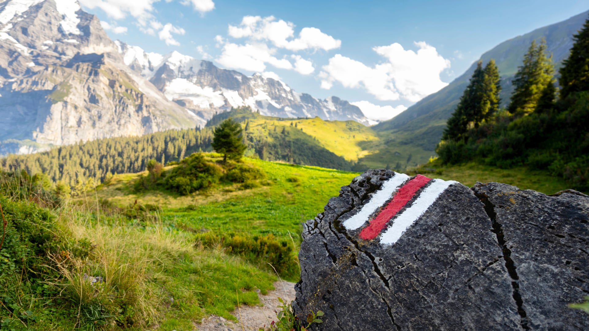
Every Alpine country has mountains and trails, but Switzerland's hiking infrastructure is in a class of its own. The national trail network is maintained to a standard that borders on obsessive — white-red-white blazes painted on rocks every 50–100 m, yellow signposts at every junction showing destination and estimated walking time, and a grading system (T1–T6) that tells you exactly what to expect before you set foot on the trail.
The SAC mountain hut network puts 153 staffed refuges across every major hiking region, spaced a day's walk apart on long-distance routes. Half-board meals (dinner and breakfast) are included at most huts, meaning you can trek for two weeks without carrying a stove or sleeping bag. Public transport connects trailheads directly — PostBus, mountain railways, and cable cars mean you can hike point-to-point across the country without ever needing a car. Step off a train in Grindelwald at 9 AM and you're on an alpine trail by 9:30.
Add to that the sheer variety — glaciers in the Valais, limestone ridges in the Alpstein, larch forests in the Engadine, vineyard terraces in Graubünden — and you have a country where trekking in Switzerland can mean something entirely different depending on which region you choose. This guide helps you choose.
How We Chose These Hikes
This list balances famous classics with less-known routes so there's something for every experience level and time frame. Selection criteria: scenic quality, trail infrastructure and marking, variety of terrain, accommodation options along the route, and accessibility by public transport. We also weighted for regional diversity — Switzerland's hiking regions each have a distinct character, and the best way to understand that is to see all five represented.
The list deliberately mixes multi-day treks and day hikes. Not every great hike in Switzerland is a 14-day epic — some of the most beautiful hikes in the Swiss Alps are single-stage walks you can do from a valley base and still be back for dinner.
Bernese Oberland
The classic Swiss postcard. The Eiger, Mönch, and Jungfrau dominate the skyline, and a dense network of trails threads between Grindelwald, Lauterbrunnen, and Kandersteg. This is the most popular hiking region in the country — and for good reason. Infrastructure is excellent, the scenery is relentlessly dramatic, and trails range from gentle valley walks to serious alpine crossings. Season runs June through October, with July and August busiest.
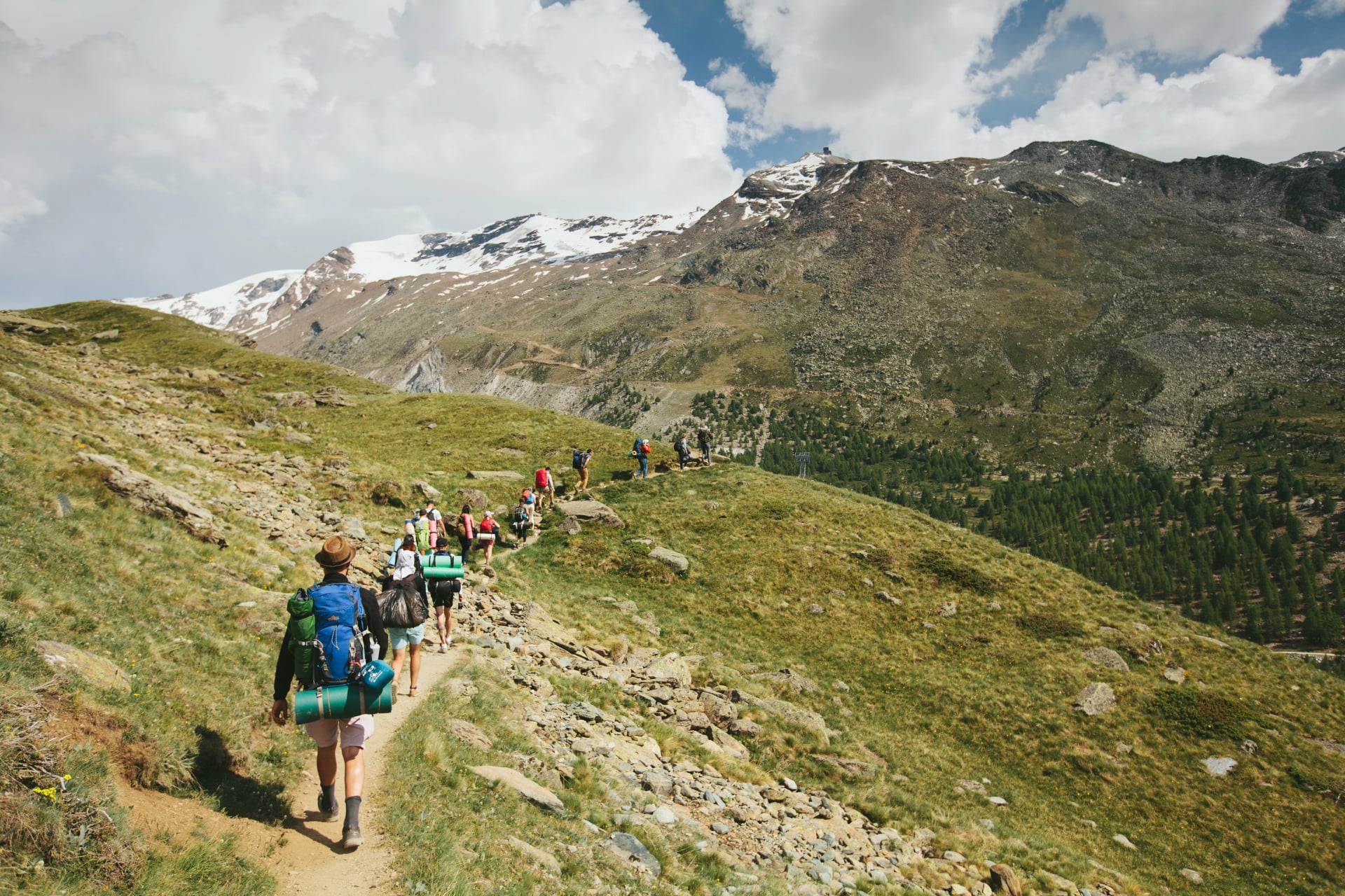
1. Via Alpina — The Bear Trek
The most varied long-distance trail in the Bernese Oberland. Nine days of walking from Meiringen to Gstaad through the full range of Swiss mountain scenery — glaciers, waterfalls, alpine meadows, and classic Swiss villages in a single continuous route. The highlight is the Hohtürli pass (2,778 m), a demanding crossing above the turquoise Oeschinensee that rewards the effort with one of the best views in the Alps.
Duration: 9 days
Distance: ~105 km
Elevation: ~7,000 m cumulative gain
Difficulty: T2–T3 (mountain hiking, some exposed sections)
Best season: June–October
Highlights: Eiger North Face close-up, car-free Mürren, Reichenbach Falls, Blüemlisalp glacier, Oeschinensee
Suitable for fit hikers without technical climbing experience. The route beneath the Eiger's north face is one of the most iconic single stages in Swiss hiking. Available as a self-guided tour. For the complete route overview and stage-by-stage breakdown, see our Via Alpina guide.
What you'll walk through on 9 days between Meiringen and Gstaad:
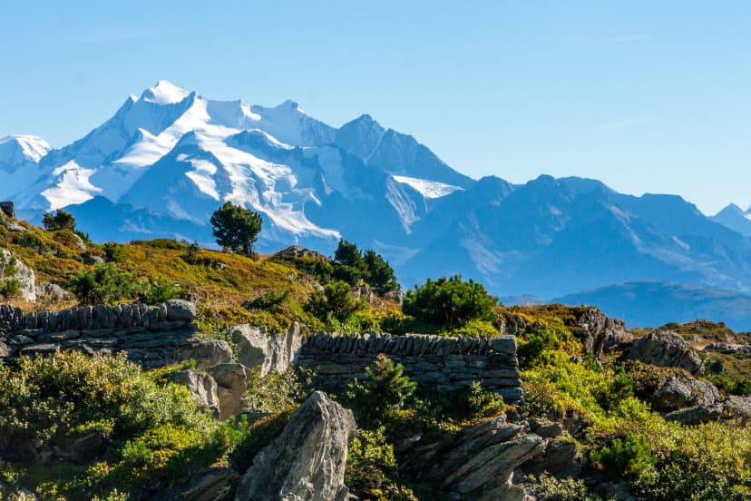
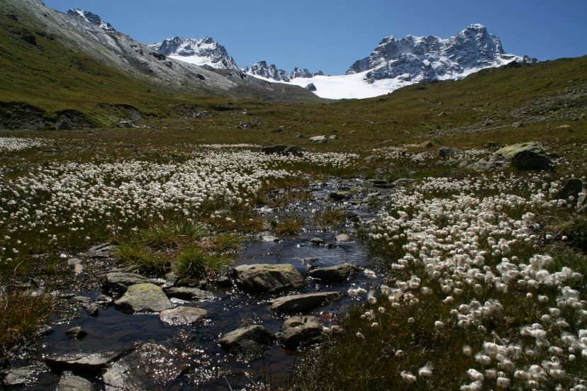
2. Aletsch Glacier Panorama Trail
Europe's longest glacier — 22 km of ice winding through the mountains — seen from a panoramic balcony trail that requires no technical ability and no glacier experience. Four days of walking through UNESCO World Heritage landscape, with the Aletsch Glacier as a constant companion. The Aletsch Forest nature reserve adds ancient arolla pines and wildlife to the mix.
Duration: 4 days
Distance: ~50 km
Elevation: ~2,500 m cumulative gain
Difficulty: T2 (mountain hiking, well-marked)
Best season: June–October
Highlights: Aletsch Glacier panorama, UNESCO World Heritage landscape, Aletsch Forest, Rhône valley views
The best beginner-friendly multi-day hike in this guide. Lower technical demands than the Via Alpina with equally dramatic scenery — the Aletsch Glacier seen from the balcony trail is a genuine once-in-a-lifetime view. A strong choice for first-time Alpine trekkers or anyone wanting a shorter commitment that still delivers a world-class experience. Available as a self-guided tour.
The scenes that make this the best beginner multi-day in the Alps:
Valais & the Pennine Alps
Switzerland's highest and most dramatic mountain landscape. The Matterhorn, Monte Rosa, Grand Combin, and over forty 4,000-metre peaks define this region. The season is shorter — reliably snow-free from early July through mid-September — and the terrain is more demanding than the Bernese Oberland. This is the heartland of serious alpine trekking in Switzerland, and the trails here match the reputation.
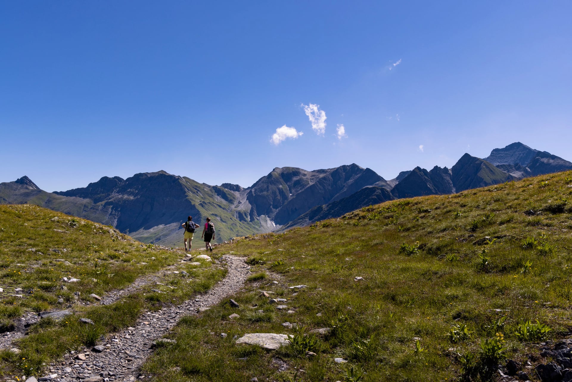
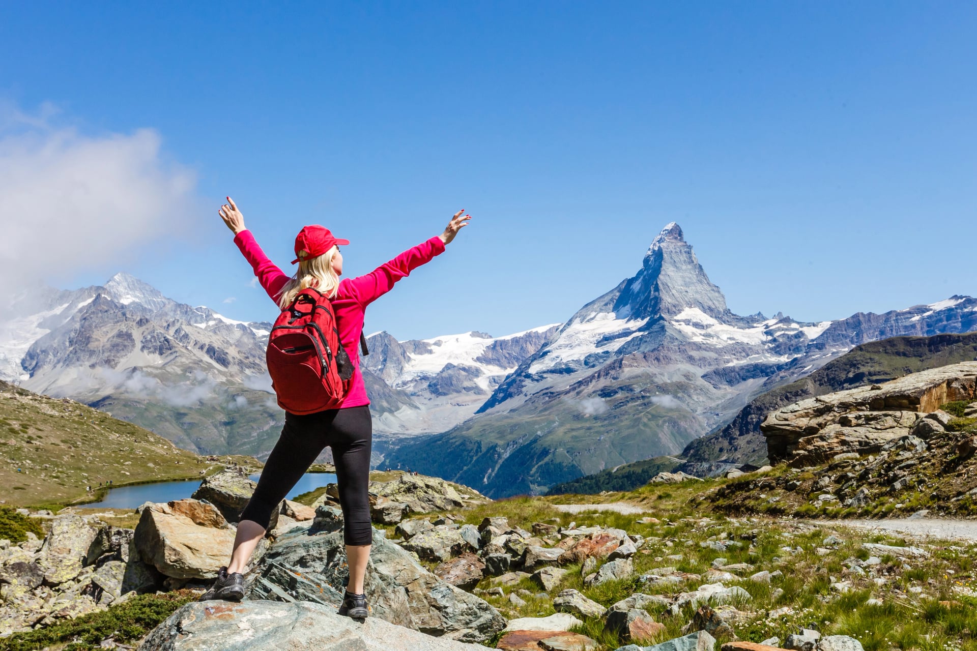
3. Walker's Haute Route (Chamonix to Zermatt)
Arguably the most famous long-distance hike in the Alps. Fourteen days connecting Mont Blanc to the Matterhorn across the full width of the Pennine Alps — 11 passes above 2,500 m, glacier crossings, the Europaweg suspension bridge, and a finish in Zermatt with the Matterhorn filling the sky. This is not a beginner route. The Haute Route is physically demanding, with daily elevation gains of 800–1,400 m over rough terrain, and the Pas de Chèvres ladder section requires a head for heights.
Duration: 14 days
Distance: ~180 km
Elevation: ~12,000 m cumulative gain
Difficulty: T3 (alpine hiking, exposed sections, ladders)
Best season: July–September
Highlights: Mont Blanc to Matterhorn traverse, 11 high passes, Europaweg suspension bridge, Cabane de Moiry, glacier approaches
The sense of achievement walking into Zermatt on Day 14 is unmatched by any other trek in the Swiss Alps. Available as a self-guided tour in three formats: Full Route (14 days), West (5 days), or East (9 days).
What earns this route its reputation over 14 days:
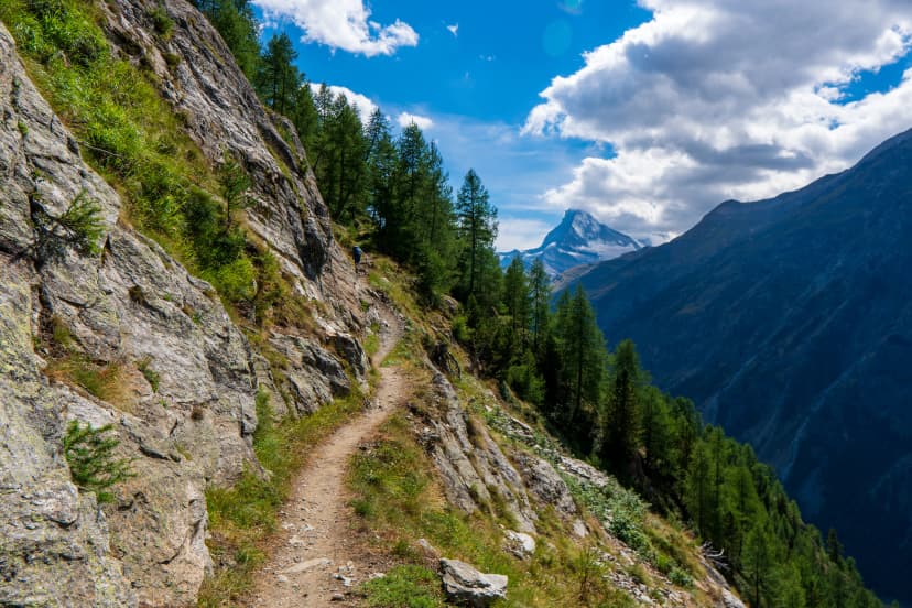
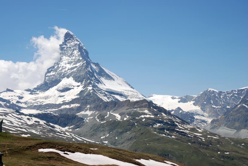
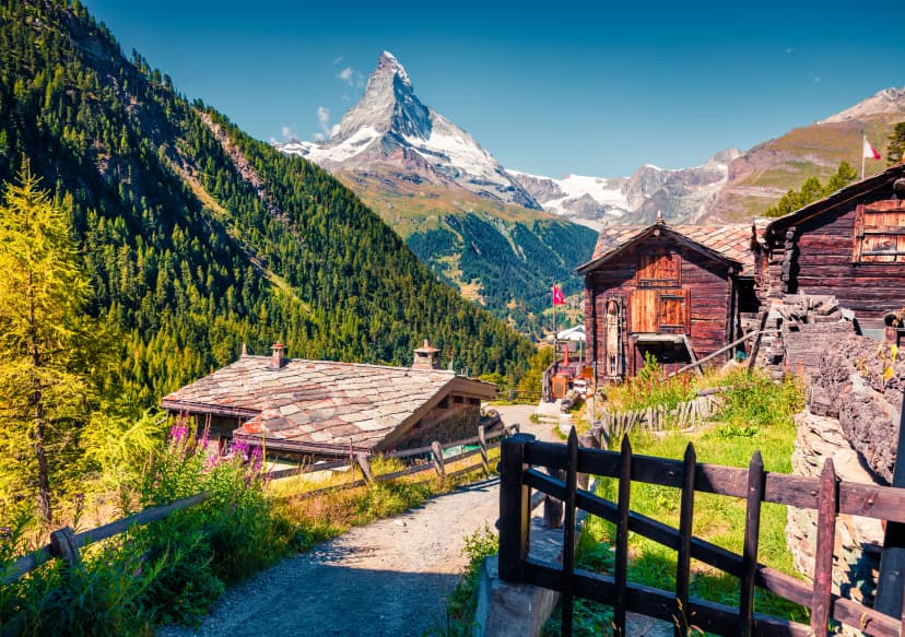
4. Matterhorn Trek
Three days of concentrated alpine drama orbiting Switzerland's most recognisable peak. The route climbs to the Hörnlihütte at 3,260 m — the Matterhorn's base camp — and traverses high above Zermatt with the mountain visible from every angle. Short enough for a long weekend, intense enough to feel like a proper expedition.
Duration: 3 days
Distance: ~35 km
Elevation: ~2,200 m cumulative gain
Difficulty: T3 (alpine hiking, some exposed traverses)
Best season: July–September
Highlights: Matterhorn from every angle, Hörnlihütte overnight, high-altitude traverses, glacier views
The best short alpine trek in Switzerland. Ideal as a standalone trip or as an extension after the Haute Route East — the terrain and altitude prepare you perfectly. Despite being only three days, you'll gain and lose over 2,000 m and sleep at one of the highest hut-accessible points in the Swiss Alps. Available as a self-guided tour.
Three days, three reasons this trek punches above its weight:
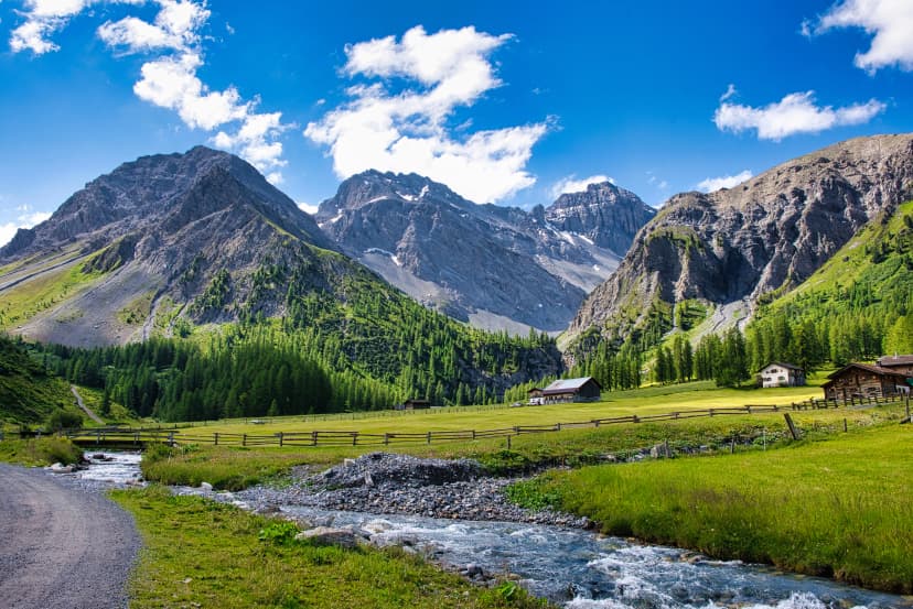
Graubünden & the Engadine
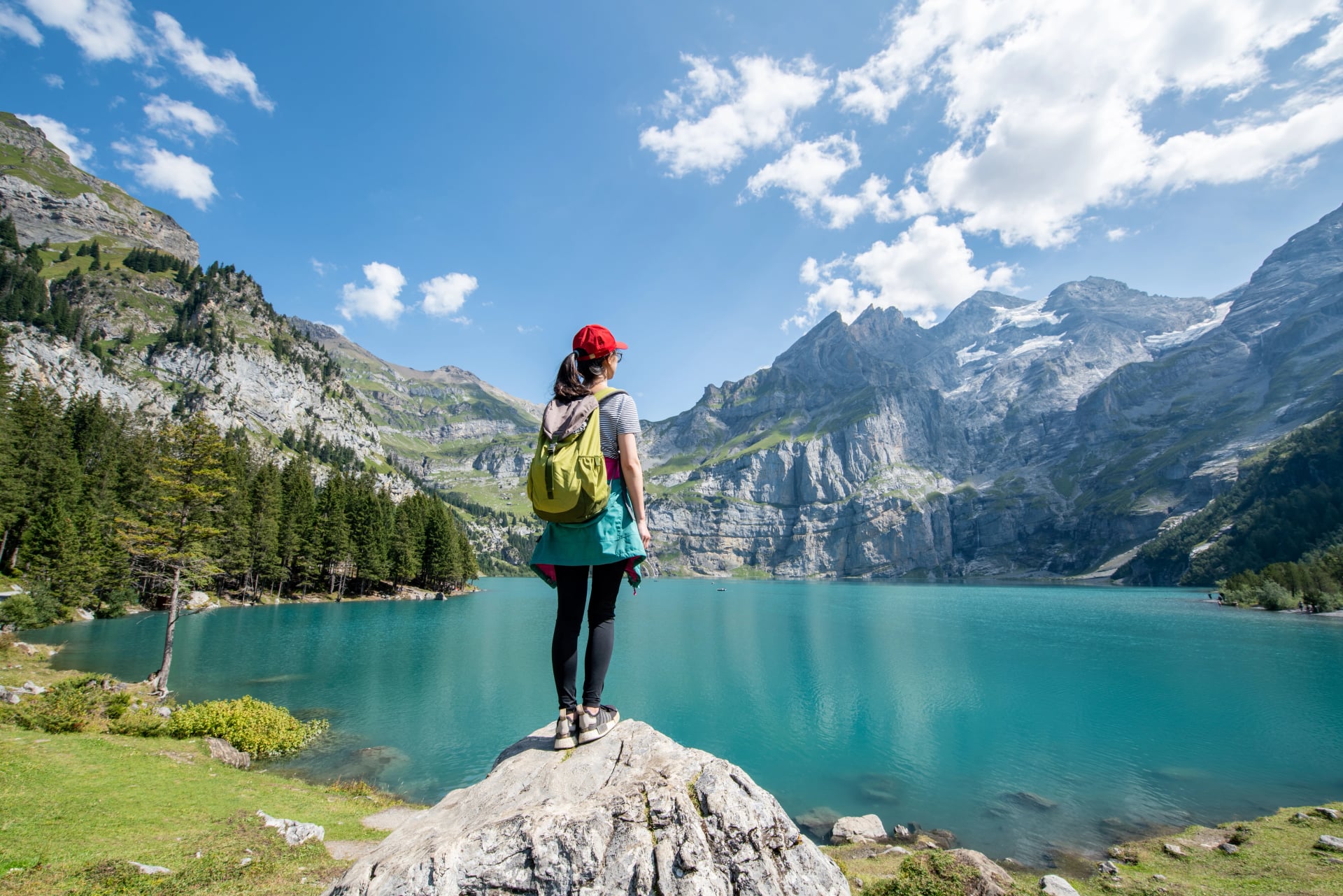
Switzerland's largest canton and its most culturally distinct. Romansch is still spoken in parts of the Engadine, the climate is drier and sunnier than the western Alps, and the landscape shifts from larch forests and turquoise lakes to vineyard terraces above the Rhine. Three hikes here because the region's variety deserves it — from a serious high-altitude trek to one of the best beginner routes in the country. Far fewer crowds than the Bernese Oberland on every trail.
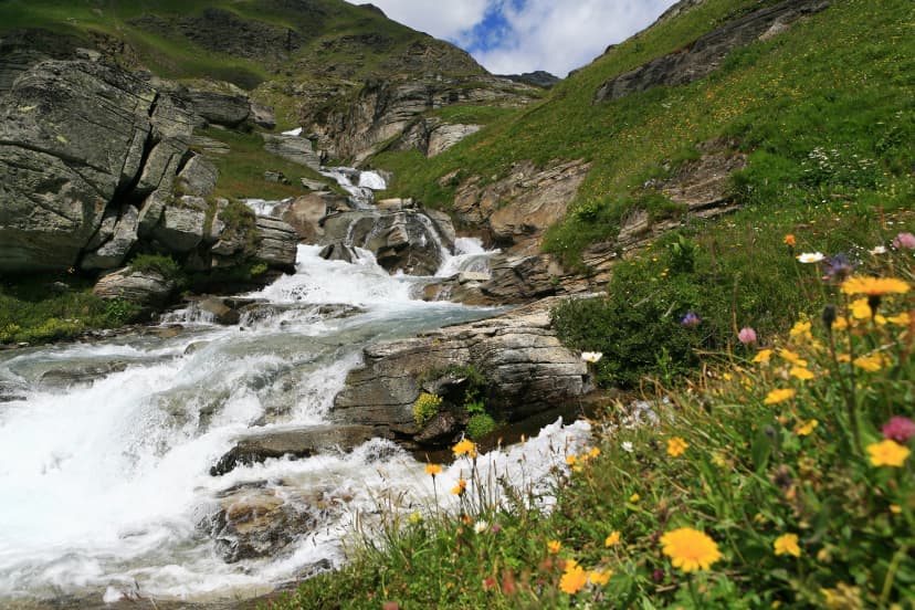
5. Kesch Trek
The best mid-length trek in eastern Switzerland. Five days circling Piz Kesch through a landscape that combines high alpine passes with the cultural flavour of the Engadine — Romansch villages, regional cuisine, and architecture you won't see anywhere else in the Alps. The Keschhütte is a modern eco-hut that won design awards, and the Scaletta Pass (2,606 m) delivers panoramic views across the Silvretta range.
Duration: 5 days
Distance: ~65 km
Elevation: ~4,000 m cumulative gain
Difficulty: T3 (alpine hiking, some exposed sections)
Best season: July–September
Highlights: Piz Kesch glacier views, award-winning Keschhütte, Sertig valley, Engadine larch forests, Scaletta Pass
Less crowded than comparable routes in the Bernese Oberland or Valais, with equally strong scenery and notably better hut food — Engadine cooking is a step above standard mountain fare. Available as a self-guided tour.
The moments that set eastern Switzerland apart:
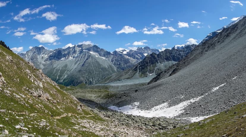
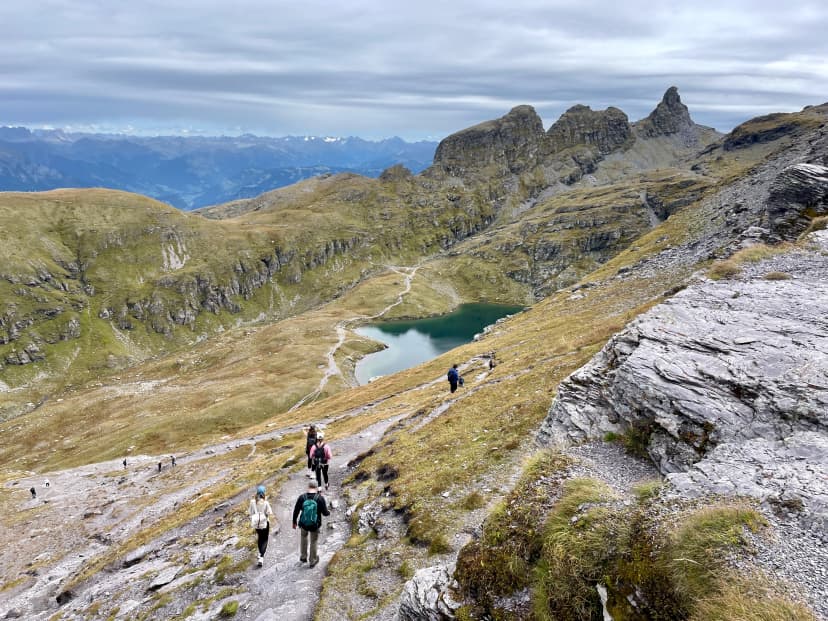
6. Greina Plateau Hike
The most surprising landscape in the Swiss Alps. The Greina Plateau looks nothing like the rest of Switzerland — a vast, flat, treeless grassland at 2,350 m surrounded by peaks on all sides. It has been compared to Patagonia and the Scottish Highlands, and neither comparison quite captures it. The route crosses from German-speaking to Italian-speaking Switzerland, with the culture shifting as noticeably as the terrain — you'll hear Romansch in the morning and Italian by afternoon.
Duration: 3–4 days
Distance: ~45 km
Elevation: ~2,800 m cumulative gain
Difficulty: T2–T3 (mountain to alpine hiking)
Best season: July–September
Highlights: Greina Plateau, language and culture transition, remote and untouched landscape, Motterascio hut
Remote, uncrowded, and unlike anything else on this list. Available as a self-guided tour.
What makes this route unlike anything else in the Alps:
7. Chur Terrace Hike
The best hike in Switzerland for beginners. Four days of gentle walking through vineyard terraces, Rhine valley panoramas, and traditional villages connected by well-maintained paths with minimal elevation change. No high passes, no exposed ridges, no technical terrain — just comfortable village-to-village walking with a Gasthaus and a proper bed each night.
Duration: 4 days
Distance: ~50 km
Elevation: ~2,000 m cumulative gain
Difficulty: T1–T2 (hiking to mountain hiking, no technical sections)
Best season: June–October
Highlights: Vineyard trails above Chur, Rhine valley panoramas, gentle elevation profile, village accommodation, accessible from Zürich by train
Proof that hiking in Switzerland doesn't require ice axes and 3,000 m passes. Ideal for first-time trekkers, couples, or anyone who wants Swiss mountain scenery without the altitude demands. Available as a self-guided tour.
Proof that great Swiss hiking doesn't need high passes:
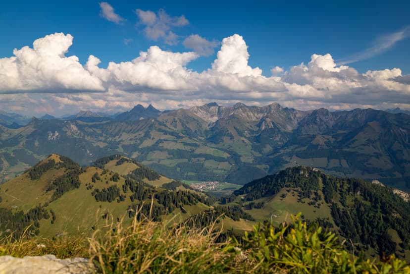
Central Switzerland & the Gotthard Region
The alpine crossroads where four major European rivers begin within kilometres of each other. Trails here are quieter than anywhere else on this list, and the landscape shifts dramatically as you cross south into Italian-speaking Ticino — granite replaces limestone, polenta replaces Rösti, and the pace slows down.
8. Four Headwaters Trail (Vier-Quellen-Weg)
Switzerland's most thematically compelling trek. Five days walking from the source of one major European river to the next — Rhine, Rhône, Reuss, and Ticino — across the Gotthard and Oberalp passes. The route has a narrative arc that most hikes lack: you're not just walking through mountains, you're tracing the origins of rivers that define the geography of half a continent. The terrain varies dramatically from stage to stage — green alpine meadows one day, rocky moonscapes the next.
Duration: 5 days
Distance: ~85 km
Elevation: ~4,200 m cumulative gain
Difficulty: T2–T3 (mountain hiking, well-marked)
Best season: July–September
Highlights: Sources of four major rivers, Gotthard Pass, Oberalp Pass, varied terrain from green meadows to rocky moonscapes, historic trade routes
Well-maintained but far less crowded than the big-name trails in the west. No self-guided tour currently available — this is an independent planning option for experienced trekkers comfortable with route-finding and hut booking. The Four Sources Trail website has detailed stage descriptions and hut contact information.
The landmarks that give this trek its narrative arc:
Appenzell & the Alpstein
A compact limestone massif in northeastern Switzerland, reachable from Zürich in under two hours by train. In one of our guides we explain the logistics of hiking in Switzerland. The Alpstein is famous for cliff-face guesthouses built into rock walls, exposed ridgelines, and a hiking culture that centres on Berggasthäuser rather than SAC huts. Small in scale, enormous in drama — and proof that some of the best hiking trails in Switzerland don't require a week-long commitment or a flight to the Valais. For details on what to expect at Alpstein guesthouses, see our accommodation guide.
9. Alpstein High Trail
The most dramatic short trek near Zürich. Three days of ridge walking through the Alpstein's limestone towers, with cliff-face guesthouses and Appenzeller cheese at every stop. The route passes Berggasthaus Aescher — one of the most photographed buildings in Switzerland — and climbs to exposed ridges with views across to the Säntis summit. Compact enough for a long weekend, spectacular enough to rival anything in the Bernese Oberland.
Duration: 3 days
Distance: ~35 km
Elevation: ~2,800 m cumulative gain
Difficulty: T3 (alpine hiking, exposed ridge sections)
Best season: June–October
Highlights: Berggasthaus Aescher, Säntis summit views, Seealpsee, exposed limestone ridges, Meglisalp hamlet
Don't underestimate this route because it's short — the ridge sections are genuinely exposed and require sure-footedness. The Aescher-to-Rotsteinpass traverse is one of the most exhilarating half-days of hiking in the entire country. Available as a self-guided tour.
What's packed into three days of ridge walking:
10. Ebenalp to Seealpsee (Day Hike)
The single best day hike in northeastern Switzerland. Cable car to Ebenalp, walk through the Wildkirchli caves, stop at the cliff-face Berggasthaus Aescher for lunch, and descend through forest to the turquoise Seealpsee for a swim. The entire route takes 3–4 hours of walking, with no technical difficulty and no fitness barrier beyond basic mobility.
Duration: 1 day
Distance: ~8 km
Elevation: ~600 m descent (cable car up)
Difficulty: T2 (mountain hiking, short steep sections)
Best season: June–October
Highlights: Wildkirchli caves, Berggasthaus Aescher cliff-face terrace, Seealpsee, traditional Appenzeller lunch
Manageable for families and first-time hikers, memorable enough for veterans. No tour needed — just a train ticket and good shoes. This is the hike to recommend to anyone who asks "where should I go hiking in Switzerland?" and only has one day.
Everything you'll fit into a single half-day:
At a Glance — Comparison Table
Hike | Region | Days | SAC Difficulty | Best for |
Via Alpina Bear Trek | Bernese Oberland | 9 | T2–T3 | Classic Swiss scenery, varied terrain |
Aletsch Glacier Panorama | Bernese Oberland | 4 | T2 | Beginners, glacier views |
Walker's Haute Route | Valais | 14 | T3 | Experienced trekkers, bucket-list challenge |
Matterhorn Trek | Valais | 3 | T3 | Short alpine intensity |
Kesch Trek | Graubünden | 5 | T3 | Mid-length, fewer crowds |
Greina Plateau | Graubünden | 3–4 | T2–T3 | Unique landscape, remoteness |
Chur Terrace Hike | Graubünden | 4 | T1–T2 | Beginners, comfort, wine country |
Four Headwaters Trail | Central Switzerland | 5 | T2–T3 | Thematic trek, independence |
Alpstein High Trail | Appenzell | 3 | T3 | Weekend trek near Zürich |
Ebenalp to Seealpsee | Appenzell | 1 | T2 | Day hike, families |
Best Hikes in Switzerland for Beginners
If you're new to Alpine hiking, three routes on this list are designed for you: the Chur Terrace Hike (T1–T2), the Aletsch Glacier Panorama Trail (T2), and the Ebenalp to Seealpsee day hike (T2).
What makes a Swiss hike beginner-appropriate isn't just short distances — it's the combination of moderate daily elevation gain, well-marked T1–T2 grading, comfortable accommodation, and proximity to public transport so you're never far from a village or cable car. You don't need technical skills, scrambling ability, or experience with crampons. You need reasonable fitness (the ability to walk 4–6 hours with some uphill), proper footwear, and the right clothing layers.
The single biggest mistake first-time hikers make is underestimating altitude. A trail rated T2 at 2,400 m is harder than the same grade at 800 m — thinner air, stronger sun, and faster weather changes all compound. Start with a lower-altitude route like the Chur Terrace Hike to build confidence, then step up. For a complete breakdown of what to bring regardless of your experience level, see our packing guide.
Planning Your Hike
1. When to Go?
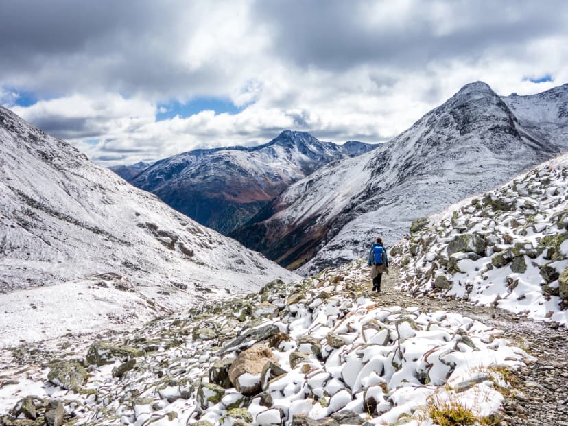
The general hiking season runs June through October, but the window narrows significantly for high-altitude routes. Anything above 2,500 m is reliably snow-free only from early July through mid-September — the Haute Route, Kesch Trek, and Four Headwaters Trail all fall into this category. Lower-altitude trails like the Chur Terrace Hike and Appenzell routes open earlier and stay accessible into late October.
September is quieter than July–August, with better visibility and golden larch forests across Graubünden and Valais. October works for lower-altitude routes but most SAC huts above 2,500 m close by mid-month. For a detailed month-by-month conditions breakdown, see our weather guide.
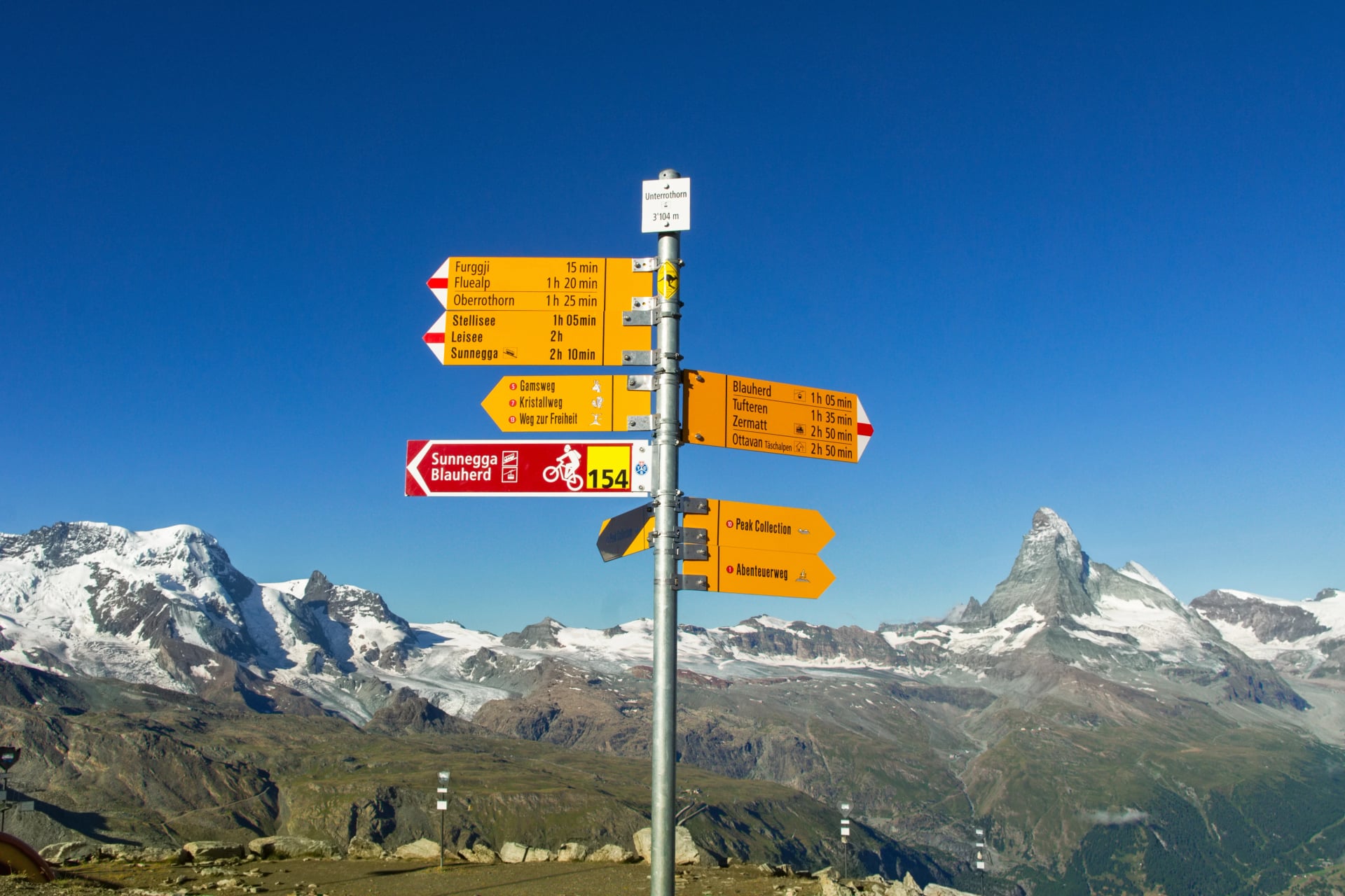
2. Trail Markings and Navigation
Switzerland's trail marking system is among the most reliable in the world. White-red-white blazes mark mountain hiking trails (T2–T3), white-blue-white marks alpine routes requiring scrambling or a head for heights (T4+).
Yellow signposts at every junction show destination names, estimated walking time, and trail grade. On the trails in this guide, getting lost is genuinely difficult — but carrying a downloaded offline map as backup is still good practice.
For the full official breakdown of Switzerland's T1–T6 grading system, the SAC trail grading scale explains exactly what each level demands.
3. What a Day on the Trail Looks Like
A typical stage on any multi-day hike in this guide follows the same rhythm: early breakfast at the hut (6:00–7:30 AM), 5–7 hours of walking with a self-carried lunch, afternoon arrival at the next hut (2:00–4:00 PM), free time on the terrace, communal dinner at a fixed time, and lights out by 10:00 PM. The pattern repeats daily and becomes second nature by Day 3.
You carry a daypack with rain gear, water, lunch, and layers — no tent, no stove, no heavy pack. The mountain hut system is what makes this possible. For the full hour-by-hour breakdown of what to expect, see our description of a day on a hike in Switzerland.
Before you book, see our Haute Route cost breakdown to understand what to budget for huts, transport, and daily spend.
4. Do You Need a Guide?
Most trails in this guide are well-marked and suitable for independent hiking. You don't need a mountain guide for any T1–T3 route if you're reasonably fit and comfortable with trail navigation. What many hikers do want is the logistics handled — accommodation booked, route notes prepared, GPS tracks loaded, and someone available by phone if plans change.
That's what our self-guided tours provide. You hike independently at your own pace; we handle everything else. Luggage transfers between stops are available as an optional extra on selected routes.
For a broader overview of Swiss hiking regions and inspiration for 1-day hikes, Switzerland Tourism's hiking page covers the full national network of shorter hikes.

Ready to Choose Your Trail?
Eight of the ten hikes above are available as self-guided tours — accommodation, detailed route notes, GPS navigation, and 24/7 on-trail support included. Luggage transfers between stops are available as an optional extra on selected routes.
Browse all our Swiss hiking tours to see itineraries, pricing, and availability. Not sure which route fits? Send us an inquiry with your dates, fitness level, and preferences, orplan a free consultation with our specialist to talk it through — we'll match you to the right trail.


Hassle-Free
We handle itineraries, accommodations, and anything else you prefer not to deal with, so you can enjoy a carefree hike.

Book with confidence
We are a financially protected company, fully bonded and insured, keeping your money safe and allowing you to travel with confidence.

Tried & Tested Adventures
Only the best hut to hut hikes of Switzerland, cherry-picked by our local team with an in-depth knowledge of the region.

Unbeatable support
Our 24/7 customer support is where we show our passion, bringing you a better experience by making your well-being our number one priority.