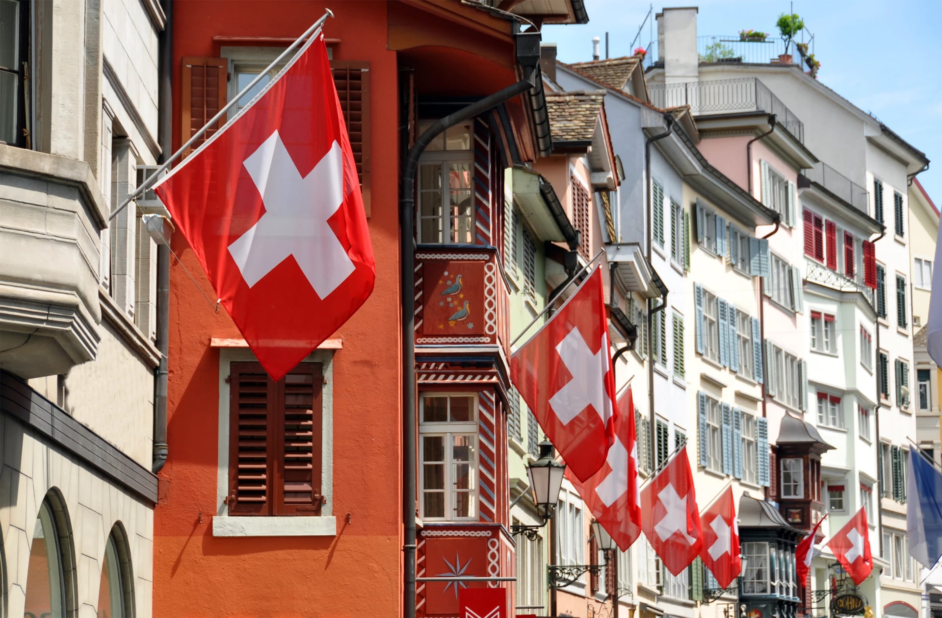
Main Hiking Towns of Switzerland: Arrival & Departure Logistics
A logistics guide to Switzerland's best hiking base towns — which airports to fly into, how the train network works, and where to base yourself by region.

Anja
Published February 9, 2026
Edited April 16, 2026
10 min read
Quick links
Switzerland has over 65,000 km of marked hiking trails, but the first question most visitors ask isn't what to hike — it's where do I fly and how do I get to the mountains? The good news: Switzerland's public transport system is the best in Europe for hikers, and you genuinely don't need a car. Trains run on time, PostBuses reach every valley, and most trailheads are a short walk from a stop.
This guide covers airports, train connections, and the best towns to base yourself in across five hiking regions — with practical logistics for getting from the runway to the trail.
3 main airports: Zürich (ZRH), Geneva (GVA), Basel (BSL)
No car needed — trains, PostBus, and cable cars connect every major trailhead
5 hiking regions covered: Bernese Oberland, Valais, Graubünden, Central Switzerland, Appenzell
Airport to mountains: 1.5–3.5 hours by train from any major airport
Swiss Half Fare Card recommended — halves almost every fare for CHF 120/month

Which Airport to Fly Into
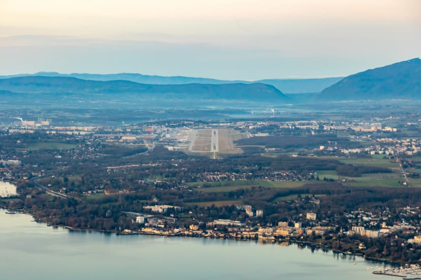
Switzerland has three international airports that matter for hikers. All three have SBB train stations either inside the terminal or directly adjacent, meaning you can step off a plane and onto a train to the mountains without a taxi, shuttle, or rental car queue. Which airport you choose depends on which hiking region you're heading to.
Zürich Airport (ZRH) — Best All-Round Choice
Transport options from the airport:
Train to Interlaken Ost: 2 hours direct
Train to Chur: 1.5 hours direct
Train to Appenzell: 1.5 hours (1 change at Gossau)
Train to Luzern: 1 hour direct
Train to Zermatt: 3 hours (change at Visp)
Best for: Bernese Oberland, Graubünden, Central Switzerland, Appenzell
Geneva Airport (GVA) — Best for Western Switzerland & the Haute Route
Transport options from the airport:
Train to Zermatt: 3.5 hours (change at Visp)
Train to Fiesch (Aletsch): 2.5 hours (change at Brig)
Train to Interlaken Ost: 2.5 hours (change at Bern)
Bus/train to Chamonix: ~2 hours (for Haute Route start)
Best for: Valais (Zermatt, Aletsch), Haute Route, western Bernese Oberland
Basel EuroAirport (BSL) — Budget Option
Transport options from the airport:
Train to Interlaken Ost: 2.5 hours (change at Bern)
Train to Luzern: 1.5 hours direct
Train to Chur: 2.5 hours (change at Zürich)
Shuttle to Basel SBB: 20 minutes (not a direct rail link like ZRH/GVA)
Best for: Bernese Oberland, Central Switzerland, budget travellers
Booking Resources
SBB — Swiss Federal Railways. Use this for all train schedules, real-time platform info, and mobile tickets. The SBB Mobile app is essential — download it before you land. Covers trains, PostBuses, and most cable cars in a single search
Swiss Railways — Use this to buy the Swiss Half Fare Card or Swiss Travel Pass before your trip. Also has clear explainers on which pass suits which travel style
PostBus — Timetables for the yellow PostBuses that cover side valleys and mountain passes where trains don't reach. Most PostBus routes also appear in the SBB app, but PostBus is useful for checking seasonal schedules in remote areas
SchweizMobil — Switzerland's official outdoor platform. Use this for hiking route maps with integrated public transport stops — shows exactly which bus or train connects to which trailhead
At a Glance
Airport | Best For | Train to Interlaken | Train to Zermatt | Flight Options |
Zürich (ZRH) | Most regions | 2 hrs | 3 hrs | Excellent — best international |
Geneva (GVA) | Valais, Haute Route | 2.5 hrs | 3.5 hrs | Good — strong European |
Basel (BSL) | Budget flights | 2.5 hrs | 3.5 hrs | Budget carriers |
Other airports worth knowing: Milan Malpensa (MXP) works for hikers combining Switzerland with northern Italy — train to Brig in ~2 hours. Munich (MUC) is an option for hikers heading to eastern Graubünden, with trains to Chur in ~3.5 hours.
Getting Around — Trains, Buses, and Cable Cars
In most Alpine countries, public transport gets you close to the mountains. In Switzerland, it gets you into them. The transport network isn't just a way to reach the trailhead — it's part of the hiking infrastructure itself.
SBB (Swiss Federal Railways) is the backbone. Trains connect every major valley and most smaller ones, running with near-obsessive punctuality. Many trailheads are literally at a train station — step off, follow the yellow signpost, and you're walking.
PostBus fills the gaps. The yellow buses run into side valleys and over mountain passes where trains don't reach — places like the Lötschental, upper Engadine valleys, and Gotthard pass roads. Timetables sync with train arrivals.
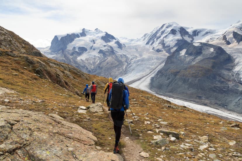
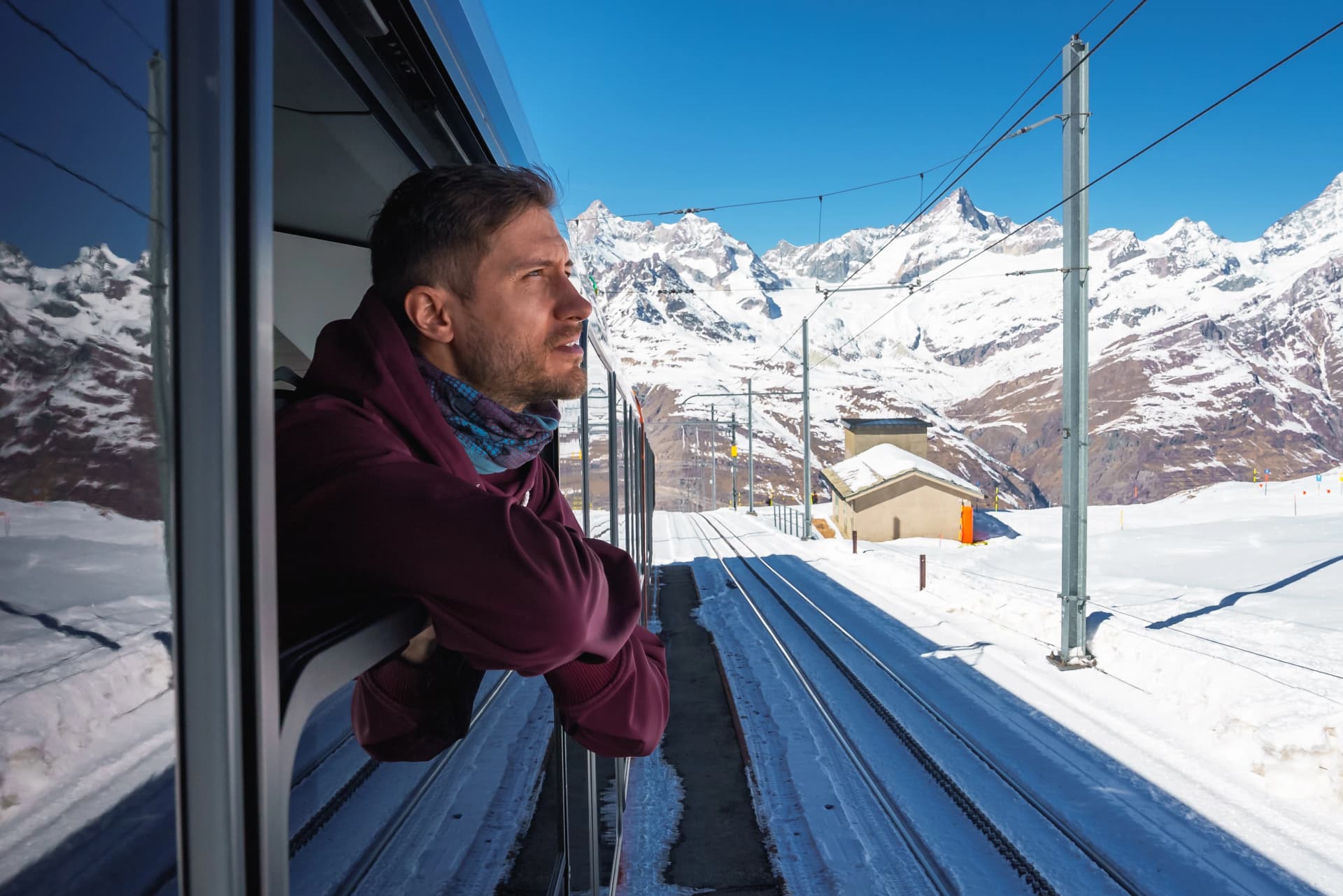
Mountain railways and cable cars are often the start of a hike, not just a tourist attraction. The Ebenalp cable car launches you into the Alpstein. The Jungfrau railways deliver you to 2,000 m+ trailheads above Grindelwald. The Gornergrat cog railway above Zermatt opens up high-altitude routes that would otherwise require hours of uphill approach.
Swiss Half Fare Card vs Swiss Travel Pass: The Half Fare Card (CHF 120 for one month) halves virtually every train, bus, and cable car fare in the country — the best value for hikers doing a single multi-day trek. The Swiss Travel Pass (from CHF 232 for 3 days) covers unlimited travel and works better for region-hoppers visiting multiple areas. Both are available at airport SBB counters on arrival.
You do not need a car. This is worth stating directly because it's different from the Dolomites or parts of Austria where a car is sometimes more practical. In Switzerland, public transport is faster, cheaper, and more convenient for point-to-point hikers — and it lets you do linear routes without worrying about getting back to a parked car.
Best Hiking Towns by Region
Eight towns across five regions — each one a proven base for hut-to-hut treks or day hiking, with practical transport connections and the right infrastructure for hikers. For a full breakdown of the best trails across all these regions, see our guide to the 10 best hikes in Switzerland
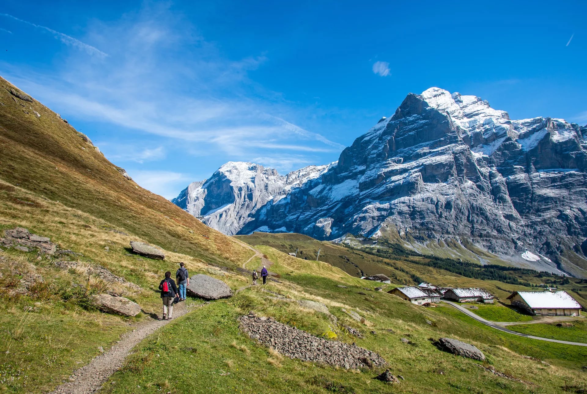
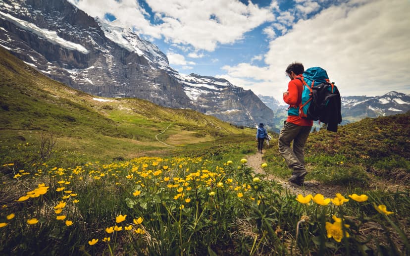
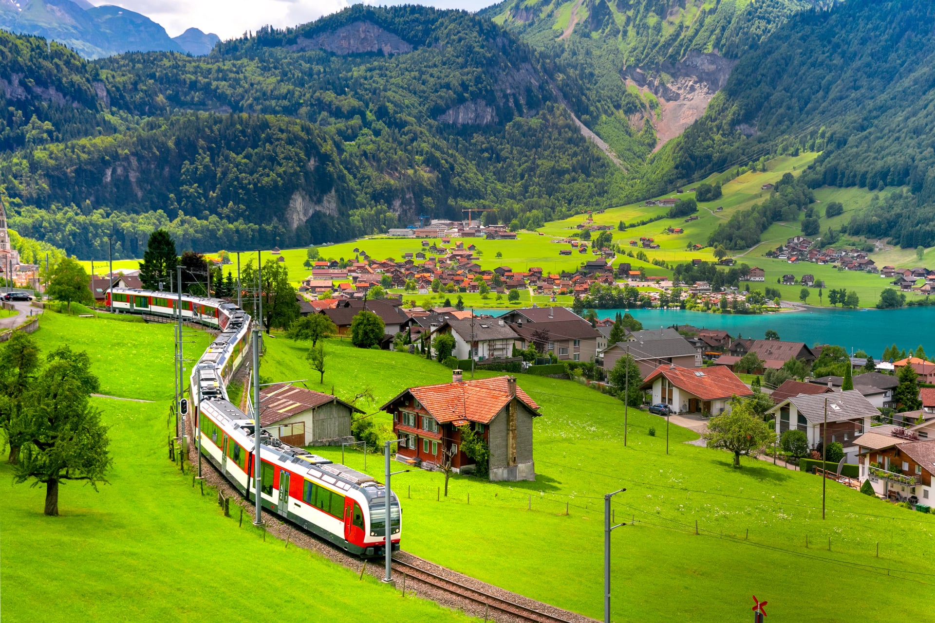
Bernese Oberland
Other tips:
Getting there: Zürich → Interlaken Ost (2 hrs direct) → Grindelwald (30 min, BOB railway). Geneva → Interlaken Ost (2.5 hrs, change at Bern) → Grindelwald
Key trailheads accessible: Kleine Scheidegg (Eiger Trail), First (bachalpsee), Männlichen ridge
Best for: Via Alpina Bear Trek start, day hikers wanting world-class scenery with full services
Other tips:
Getting there: Interlaken Ost → Lauterbrunnen (20 min, direct). Lauterbrunnen → Mürren (cable car + funicular, ~25 min)
Key trailheads accessible: Schilthorn, Allmendhubel, Sefinafurgge pass (Bear Trek stage)
Best for: Bear Trek stages, Jungfrau day hiking, quieter alternative to Grindelwald
Want to Visit These Towns?
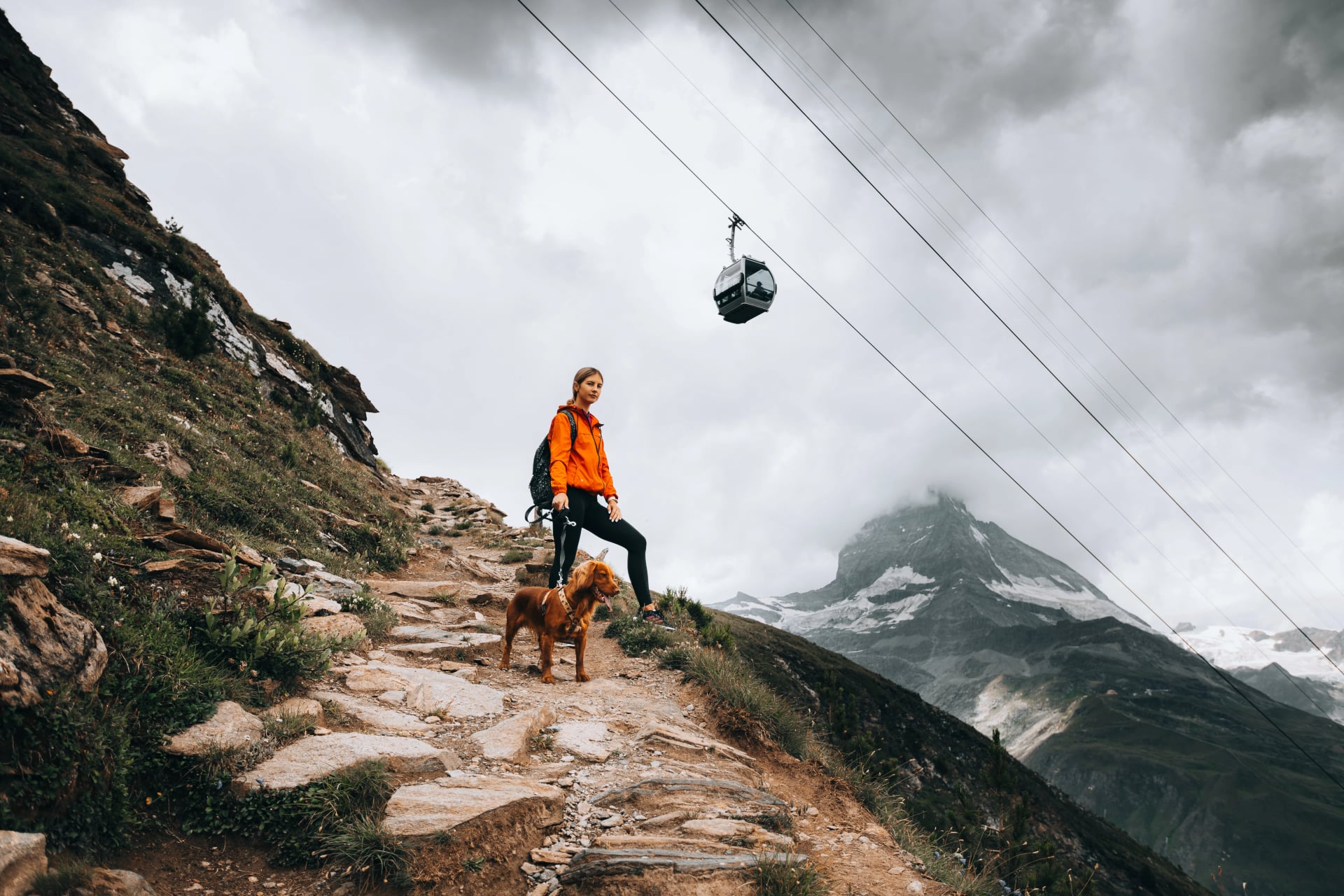
Valais
Other tips:
Getting there: Visp → Zermatt (1.5 hrs, Matterhorn Gotthard Bahn — the only way in). Zürich → Visp (1.5 hrs direct) → Zermatt. Geneva → Visp (2 hrs direct) → Zermatt
Key trailheads accessible: Gornergrat (3,089 m), Schwarzsee (Matterhorn Trek), Europaweg start
Best for: Haute Route finish, Matterhorn Trek, high-altitude day hiking. For the full route guide, see our Haute Route ultimate guide
Getting there: Zürich → Brig (2 hrs direct) → Fiesch (15 min regional train). Geneva → Brig (2 hrs direct) → Fiesch. Cable car from Fiesch to Bettmeralp (15 min)
Key trailheads accessible: Bettmerhorn viewpoint, Aletsch Forest, Riederalp traverse
Best for: Aletsch Glacier trek, beginner-friendly multi-day hiking, quieter Valais base
Want to Visit These Towns?
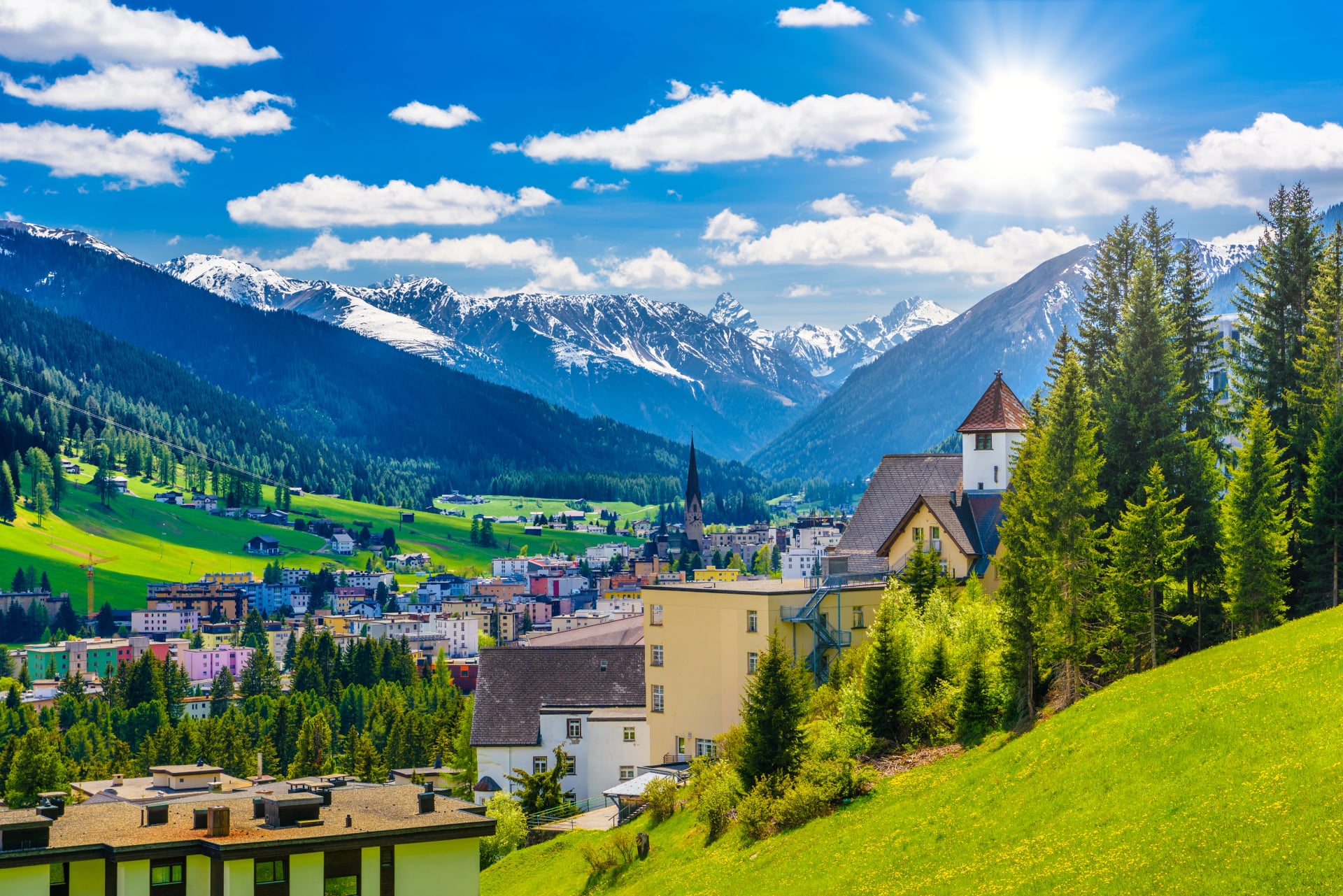
Graubünden
Getting there: Zürich → Davos (2.5 hrs, change at Landquart). Zürich → Bergün (2.5 hrs via Chur and the Albula line)
Key trailheads accessible: Sertig valley, Dischma valley (Scaletta Pass approach), Keschhütte
Best for: Kesch Trek, Engadine day hikes, late-season hiking in drier conditions
Getting there: Zürich → Chur (1.5 hrs direct, frequent departures). Basel → Chur (2.5 hrs, change at Zürich)
Key trailheads accessible: Churer Höhenweg, Brambrüesch (cable car from city centre), Maienfeld/Heidiland
Best for: Beginner-friendly trekking, Graubünden gateway, shortest transfer from Zürich
Want to Visit These Towns?
Central Switzerland
Getting there: Zürich → Göschenen (1.5 hrs direct) → Andermatt (15 min, Matterhorn Gotthard Bahn). Also reachable via the Glacier Express route from Zermatt or St. Moritz
Key trailheads accessible: Oberalp Pass (Rhine source), Gotthard Pass, Furka Pass
Best for: Gotthard region hiking, thematic trekking, quietest base on this list
Getting there: Zürich → Appenzell (1.5 hrs, change at Gossau). Appenzell → Wasserauen (15 min, direct)
Key trailheads accessible: Ebenalp cable car (Aescher, Seealpsee), Meglisalp, Rotsteinpass
Tours starting here: Alpstein High Trail — 3 days of ridge walking
Best for: Alpstein High Trail, Ebenalp–Seealpsee day hike, closest dramatic mountain hiking to Zürich
For details on what to expect at Alpstein guesthouses, see our accommodation guide
Want to Visit These Towns?
Sample Routes: Airport to Trailhead
Three concrete examples to show how straightforward the logistics are.
1. Zürich → Grindelwald (Via Alpina Bear Trek Start) — Most Popular

Land at Zürich Airport (ZRH)
Train: ZRH → Interlaken Ost (2 hrs, direct IC)
Train: Interlaken Ost → Grindelwald (30 min, BOB railway)
Total time: ~2.5 hours. Cost: ~CHF 35–55 with Half Fare Card. Difficulty: Easy — one change, well-signed.
For the full route guide, see our Via Alpina ultimate guide.
2. Geneva → Zermatt (Haute Route Finish / Matterhorn Trek Start) — Best for Valais

Land at Geneva Airport (GVA)
Train: GVA → Visp (2 hrs, direct IC)
Train: Visp → Zermatt (1.5 hrs, Matterhorn Gotthard Bahn)
Total time: ~3.5 hours. Cost: ~CHF 40–60 with Half Fare Card. Difficulty: Easy — one change at Visp, same platform.
3. Zürich → Wasserauen (Alpstein High Trail / Ebenalp Day Hike) — Quickest to Trail
Land at Zürich Airport (ZRH)
Train: ZRH → Gossau (1 hr, direct S-Bahn or IC)
Train: Gossau → Wasserauen (40 min, Appenzeller Bahnen)
Total time: ~1 hour 45 minutes. Cost: ~CHF 20–30 with Half Fare Card. Difficulty: Easy — one change at Gossau.
Transfers and Flexibility
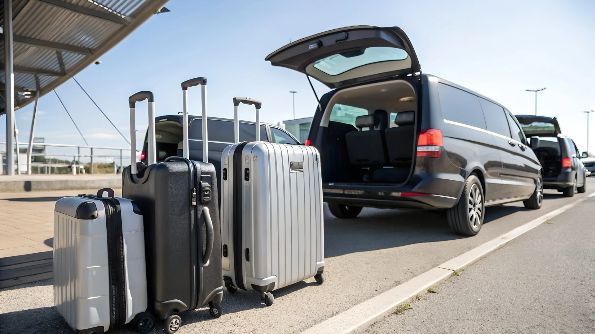
If you book a self-guided tour with us, we can arrange private transfers where and when needed — whether that's airport to your first town, between towns mid-trek, or from your final stop back to the airport. This is especially useful for hikers arriving on late flights, travelling with extra luggage, or wanting a seamless start without navigating train connections on Day 1.
Want to see more of Switzerland? If you're drawn to more than one or two towns from this list — say Grindelwald and Zermatt on the same trip, or the Alpstein combined with the Bernese Oberland — we're happy to build tailor-made itineraries with extra days to explore multiple regions. We do this regularly for hikers who want to combine a multi-day trek with additional day-hiking bases before or after. Just let us know when you inquire and we'll design something that fits.
Planning Tips
Buy a Half Fare Card at the airport — available at SBB counters in Zürich and Geneva arrivals. Pays for itself within 2–3 journeys
Download the SBB Mobile app for real-time timetables, platform info, and mobile tickets
Book accommodation before transport — where you stay determines which airport makes sense, not the other way around
Check conditions before choosing your month — see our weather guide for a month-by-month breakdown across all regions
Trains fill up on weekends in July–August on popular routes (Zürich–Interlaken, Visp–Zermatt) — seat reservations aren't mandatory on most Swiss trains but travelling mid-week or early morning avoids crowds

Ready to Plan Your Trip?
All eight towns above serve as starting or ending points for our self-guided hiking tours — accommodation, route notes, GPS navigation, and 24/7 on-trail support included. Luggage transfers and private airport transfers available as optional extras.
Browse all our Swiss hiking tours to see itineraries, pricing, and availability. Not sure which region or town fits your plans? Send us an inquiry with your dates, experience level, and interests, or book a free planning call — we'll match you to the right base and build an itinerary around it.

About this author
Anja is our lead travel advisor and a lifelong hiker who has planned countless adventures across Europe. She prefers sunsets to sunrises — unless coffee is involved — and, ever since her first rock-climbing course, joins friends on climbing trips whenever she can.